blank 13 colonies map
Resize and add details
Convert to video
Outpaint the rest of the image
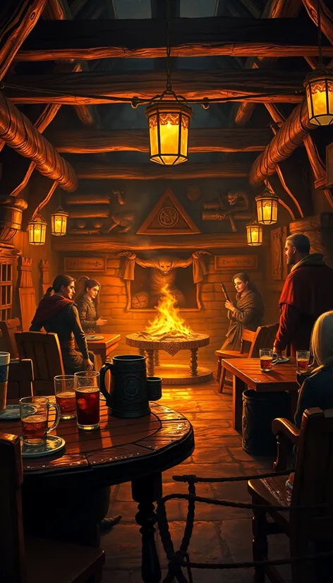
Additional Info
Steps7
SamplerK_EULER_ANCESTRAL
CFG Scale2
Seed161910135
More Ai art like blank 13 colonies map
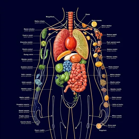
Body map organs vs the perfect natural organic nuttients necesarry for each organ
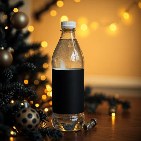
(Ultra-realistic, photorealistic), All black Christmas decor with gold lights illuminating the scene. a plastic water bottle with blank black label and white top sitting the middle of the scene. Shot in 8K resolution, with rich colors, hyper-realistic textures, volumetric light effects, depth blur, and cinematic film grain, using a Nikon D850, f/1.6 lens, Kodak Portra 400

Let’s try an image of fashionable women who are african american. I need them to be wearing pajamas at a christmas party. Their facial expressions should be happy. They should have water bottles with blank black labels with white tops in their hands.
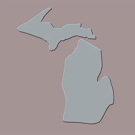
Draw a Michigan map with the upper peninsula with 616 in the middle in the color gray and light blue like the Detroit lions make it animated
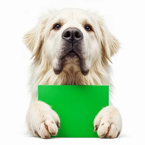
Generate an image of a very white maremma sheepdog, with a blank solid background. The image should be a close up of the dogs face and paws as it is looking up over a solid green block, it's front paws should be slightly over the edge of the solid block.