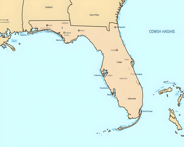
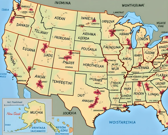
detailed map of state of florida
Resize and add details
Convert to video
Outpaint the rest of the image
Additional Info
ModelFlux
Seed1101967465
Enhanced PromptGeography, Political Divisions, Climate, Economy, History, Major Cities, Points of Interest, Natural Features, Wildlife, Population, Transportation, Culture, Education, Healthcare, Infrastructure, Agriculture, Industry, Tourism, Military Bases, Protected Areas, Recreational Activities, Festivals, Events, Cuisine, Famous Landmarks, Historical Sites, Museums, Universities, Research Centers, Hospitals, International Trade, Port Authorities, Border Crossings, Road Network, Railways, Airports, Waterways, Canals, Bridges, Tunnels, National Parks, State Forests, Wildlife Refuges, Game Management Areas, Fish and Wildlife Sanctuaries, Coastal Zone Management Systems, Beaches, Springs, Lakes, Rivers, Everglades, Okefenokee Swamp, Florida Keys, Panhandle, Central Florida, South Florida, Gulf Coast, Atlantic Coast, Key West, Miami, Jacksonville, Tampa, Orlando, St. Petersburg, Fort Lauderdale, Palm Beach, Clearwater, Daytona Beach, Pensacola, Panama City, Melbourne, Vero Beach, Sarasota, Naples, Marco Island, Destin, Fort Myers, Cape San Blas, Apalachicola, Tallahassee, Gainesville, Lake Okeechobee, Kissimmee Chain of Lakes, Merritt Island, Kennedy Space Center, Walt Disney World, Universal Studios, SeaWorld, Kennedy Space Center Visitor Complex, Ernest Hemingway Home and Museum, Vizcaya Museum and Gardens, Ringling Museum of Art, Busch Gardens, Florida Aquarium, Jacksonville Zoo and Gardens, Miami Children's Museum, Salvador Dali Museum, Harry S. Truman Little White House, Amelia Island Plantation, Everglades National Park, Biscayne National Park, Dry Tortugas National Park, Key Largo, Islamorada, Marathon, Big Pine Key, Key West Lighthouse, Seven Mile Bridge, Overseas Highway, Sunshine Skyway Bridge, Tamiami Trail, Florida Turnpike, Interstate 75, Interstate 95, Interstate 10, US Route 1, Florida East Coast Railway, CSX Transportation, Amtrak Silver Star train, Port of Miami, Port of Jacksonville, Port of Tampa, Port of Mobile, Port of New Orleans, Jacksonville International Airport, Miami International Airport, Orlando International Airport, Tampa International Airport, Fort Lauderdale-Hollywood International Airport, Southwest Florida International Airport, Northwest Florida Beaches International Airport, Pensacola International Airport, Destin-Fort Walton Beach Airport, St. Pete-Clearwater International Airport, Fort Myers Southwest Florida International Airport, Daytona Beach International Airport, Northwest Florida Regional Airport, Northwest Florida Beaches International Airport, Melbourne International Airport, Vero Beach Municipal Airport, Sarasota Bradenton International Airport, Punta Gorda Airport, Fort Myers Page Field Airport, Cape San Blas Airport, Apalachicola Regional Airport, Tallahassee International Airport, Gainesville Regional Airport, Lakeland Linder International Airport, Orlando Sanford International Airport, Melbourne Orlando International Airport, Fort Pierce St. Lucie County International Airport, Vero Beach Regional Airport, Sebastian Municipal Airport, Treasure Coast International Airport, Bartow Executive Airport, Avon Park Executive Airport, Sebring Regional Airport, Arcadia Municipal Airport, Clewiston Municipal Airport, Hendry Regional Medical Center, Lee Memorial Health System, HCA Florida Hospital, AdventHealth, Baptist Health, UF Health Shands, Mayo
More Ai art like detailed map of state of florida
Create a photo-realistic image
Create a photo-realistic image presentation of a pair of female feet, showcasing detailed and proportional elements like smooth, medium-pinkish skin, natural creases in the soles, and individual, carefully formed toes. The feet are positioned comfortably in a relaxed state, soles on view upwards. The visual perspective should be straight-on, providing a clear, unobstructed view of each of the feet's five toes.