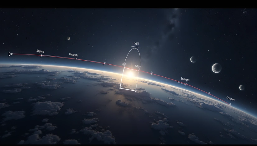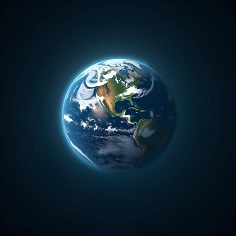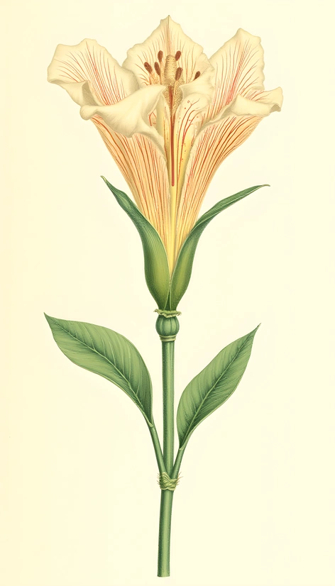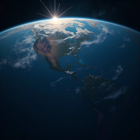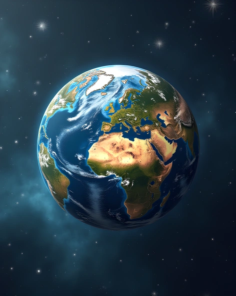
earth layer diagram
Resize and add details
Convert to video
Outpaint the rest of the image
Additional Info
ModelFlux
Seed1678494807
Enhanced Promptatmosphere, outer space, mesosphere, thermosphere, exosphere, stratosphere, troposphere, earth crust, mantle, outer core, inner core, geoid shape, lithospheric plate boundaries, oceanic crust, continental crust, ocean trenches, mid-ocean ridges, fault lines, mountain ranges, valleys, canyons, river systems, glaciers, ice caps, sea level, atmospheric pressure gradients, temperature variations, wind patterns, ocean currents, Earth's magnetic field, satellite imagery, geological processes, plate tectonics, erosion, weathering, sedimentation, stratification, rock types, mineral deposits, fossil records, seafloor spreading, subduction zones, transform faults, convergent plate boundaries, divergent plate boundaries, hotspots, rift valleys, fold mountains, volcanic arcs, backarc basins, forearc basins, accretionary prisms, trench-slope basins, oceanic-continental boundary, continental shelf, continental slope, abyssal plain, hadal zone, bathymetry, topography, hydrology, meteorology, climatology, geomorphology, geophysics, geodesy, geochronology, radiometric dating, paleomagnetism, seismic activity, earthquakes, volcanic eruptions, tidal forces, gravitational pull, rotational forces, solar wind, cosmic rays, atmospheric circulation, ocean-atmosphere interaction, terrestrial hydrosphere, cryosphere, pedosphere, biosphere, anthropogenic activities, human impact on the environment, land use changes, deforestation, desertification, pollution, climate change, greenhouse gases, carbon cycle, water cycle, nutrient cycles, soil formation, soil erosion, groundwater flow, surface runoff, infiltration, percolation, aquifer recharge, discharge, evaporation, transpiration, condensation, precipitation, run-off, floodplains, deltas, estuaries, wetlands, coral reefs, mangroves, salt marshes, peat bogs, alpine meadows, grasslands, savannas, deserts, rainforests, temperate forests, boreal forests, tundra, arctic regions, antarctica, aurora australis, northern lights, aurora borealis, magnetic poles, geographic north pole, geographic south pole, prime meridian, equator, tropics, subtropics, temperate zones, polar regions, seasonal variation, diel rhythm, lunar cycles, solar cycles, planetary alignment, celestial mechanics, astronomical events, astronomical observations, telescopic views, spectroscopy, interferometry, radar imaging, lidar, sonar, seismometers, gravimeters, magnetometers, barometers, anemometers, pyranometers, thermistors, photodiodes, spectrometers, chromatographs, fluorometers, particle counters, neutron detectors, gamma-ray detectors, cosmic ray detectors, neutrino detectors, astronomical catalogues, star charts, sky maps, planetarium software, astronomical databases, online resources, scientific literature, academic journals, research papers, textbooks, educational materials, multimedia content, interactive visualizations, animations, videos, podcasts, lectures, tutorials, workshops, conferences, seminars, symposia, colloquia, panel discussions, debates, Q&A sessions, expert interviews, citizen science projects, crowdsourcing, crowdfunding, open-source initiatives, collaborative research, interdisciplinary approaches, interagency cooperation, international collaborations, global partnerships, data sharing, knowledge exchange, best practices, case studies, success stories, lessons learned, challenges faced, future directions, emerging trends, new technologies, innovative methods, experimental designs, statistical analysis, data visualization, computational modeling, machine learning algorithms, artificial intelligence techniques, simulation tools, modeling frameworks, decision support systems, policy briefs, white papers, position statements, advocacy documents, government reports, NGO publications, industry guidelines, standards, regulations, codes of practice, compliance requirements,