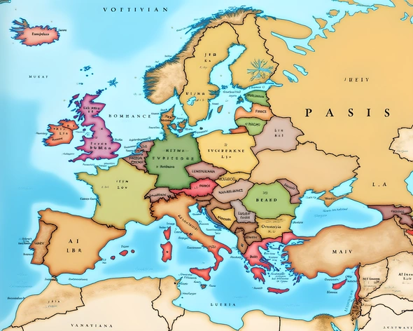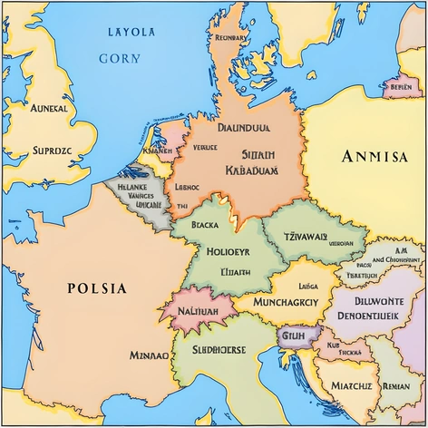
map of europe and
Resize and add details
Convert to video
Outpaint the rest of the image
Additional Info
Steps39
Samplerddim
CFG Scale7.2
Seed448083523
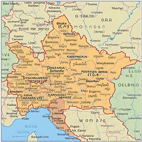
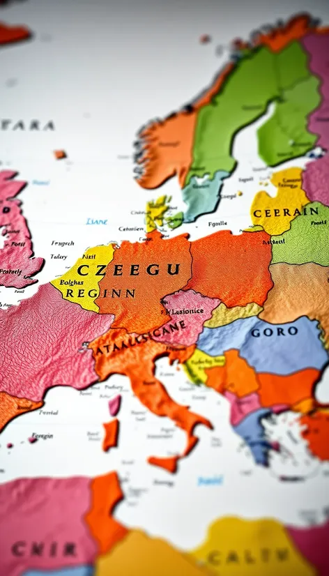
Enhanced Promptdetailed political map of Europe, geographical features, country borders, capital cities, major rivers, mountain ranges, forested areas, coastlines, islands, labeled country names, distinct border between the Czech Republic and neighboring countries, Germany to the west, Poland to the northeast, Slovakia to the east, Austria to the south, zoomed-in view of the Czech Republic, regions of Bohemia, Moravia, and Silesia, major cities of Prague, Brno, Ostrava, Plzeň, and Liberec, notable landmarks such as the Vltava River, the Elbe River, the Sudeten Mountains, the Carpathian Mountains, the Bohemian-Moravian Highlands, accurate scale and proportions, traditional map colors and symbols, country flags and coats of arms, geographical grid and coordinates, legend and key explaining map symbols and markings, high-resolution image, suitable for educational and informative purposes, Adobe Illustrator CS6, vector format, A3 paper size, 300 DPI resolution, CMYK color mode.