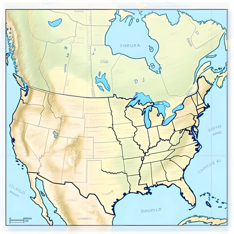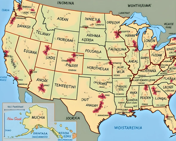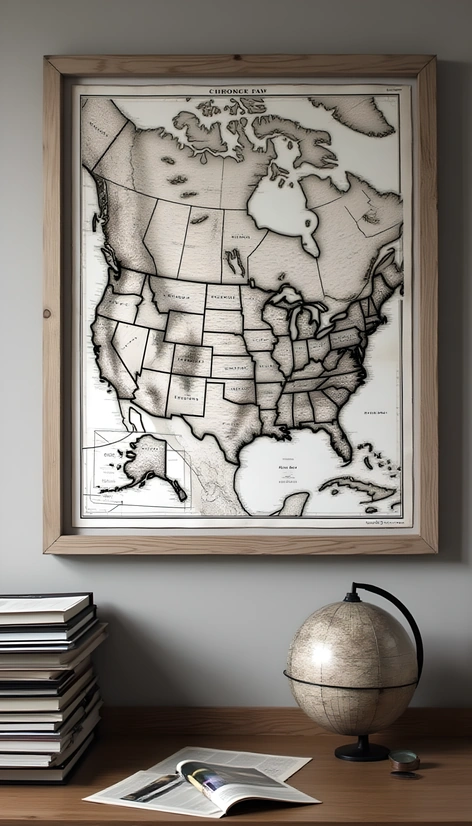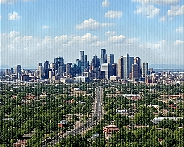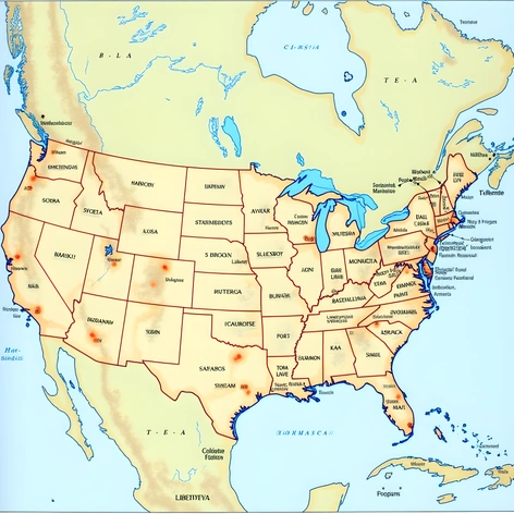
map of usa with
Resize and add details
Convert to video
Outpaint the rest of the image
Additional Info
Steps30
Samplerddim
CFG Scale9.2
Seed954240727
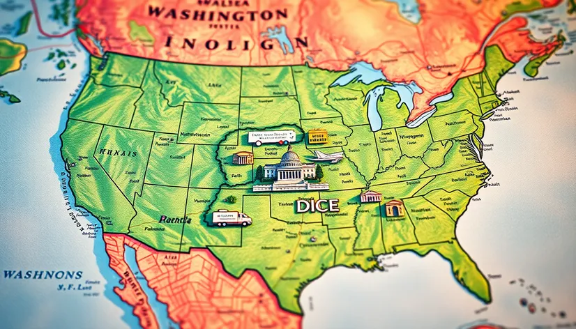
Enhanced Prompthighly detailed map of the United States of America, showcasing all 50 states, with a focus on Washington D.C., the nation's capital, situated on the east coast, bordering the states of Maryland and Virginia, Potomac River flowing through the city, iconic landmarks such as the White House, United States Capitol, and the Washington Monument prominently displayed, detailed network of roads, highways, and interstates, major cities, including New York City, Los Angeles, Chicago, Houston, Phoenix, Philadelphia, and San Antonio, clearly labeled, state borders and capitals, notable geographical features, such as the Rocky Mountains, Appalachian Mountains, Grand Canyon, and Mississippi River, accurately represented, varying shades of green indicating national parks and forests, deserts, and other natural wonders, comprehensive labeling of major waterways, including oceans, lakes, and rivers, map title and legend, scale and key, professionally designed, GIS mapping technology, photorealistic imagery, 3D visualization, precise typography, and cartographic elements, optimized for web and print use, suitable for educational, reference, and decorative purposes, high-resolution, large-format, wall-sized map, perfect for offices, classrooms, and homes, easily readable from a distance, durable and long-lasting, printed on high-quality paper or vinyl, laminated for added protection, measuring 40 inches by 60 inches, landscape orientation, centered on Washington D.C., ideal for navigating, exploring, and learning about the United States and its capital city.