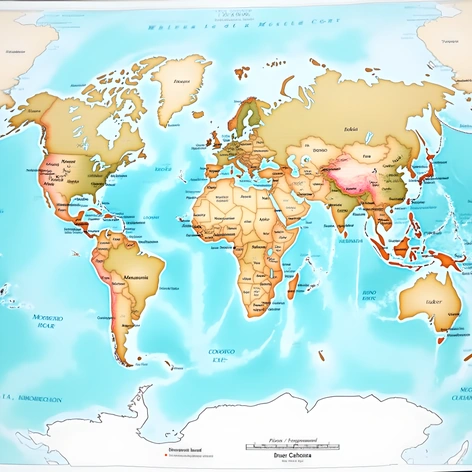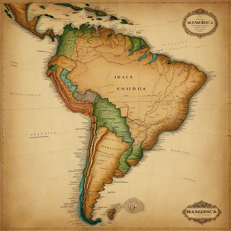
mapa sudamerica
Resize and add details
Convert to video
Outpaint the rest of the image
Additional Info
Steps7
SamplerK_EULER_ANCESTRAL
CFG Scale2
Seed92404339
Enhanced Promptcontinent of South America, geographical map, accurate country borders, twelve independent nations, Brazil, Argentina, Chile, Peru, Colombia, Venezuela, Ecuador, Bolivia, Uruguay, Paraguay, Guyana, Suriname, French Guiana, detailed terrain, Andes mountain range, Amazon rainforest, Patagonia region, Atacama Desert, Galapagos Islands, Falkland Islands, South American culture, rich history, iconic landmarks, Christ the Redeemer statue, Machu Picchu, Iguazu Falls, vibrant cities, Rio de Janeiro, Buenos Aires, Santiago, Lima, Bogota, Caracas, realistic style, colored terrain, contrasting colors, geographical features, rivers, lakes, mountains, forests, deserts, climate zones, tropical, desert, temperate, cold, moderate resolution, two-dimensional, educational purpose, labeled countries, capital cities, major rivers, geographical accuracy, visually appealing, high-quality image, 2000 x 2500 pixels, JPEG format, optimized for web use, similar to maps found in National Geographic publications.