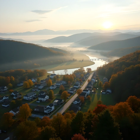
north carolina counties map
Resize and add details
Convert to video
Outpaint the rest of the image
Additional Info
Steps35
Samplerdpm++
CFG Scale5.8
Seed289610272
More Ai art like north carolina counties map


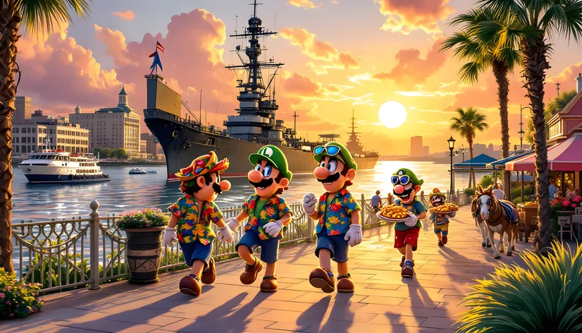
Mario and Luigi ,Wario and waluigi all vacationing in Wilmington North Carolina Circa 2010

A big bubbling Enamel painted pot of Italian Wedding Soup Two Metal Bowls with Spoons a metal tray of Sourdough bread slices two tin cups and a bottle of Sandeman Port Wine Vintage 1916 on a makeshift table supported by saw horses in a small fishing shack in Kitty Hawk North Carolina Circa 1980
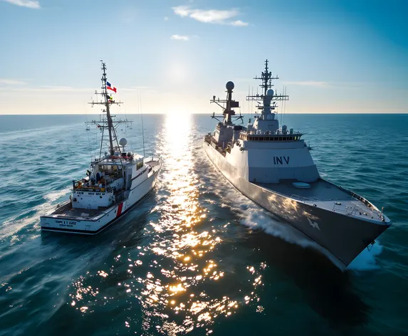
The North Carolina Fish and Game Maritime Patrol Cutter " MPC Raleigh" And The Italian Navy Corvette "INV Roma " patrolling off the Outer Banks During Operation Just Resolve a Anti Pollution and illegal Dumping Campaign " a enduring symbol of Italy and North Carolina Friendship Circa December 4th 1991
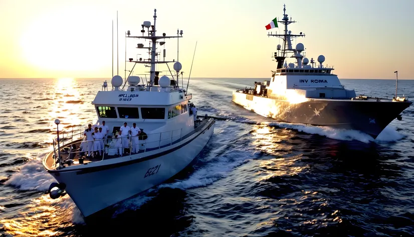
The North Carolina Fish and Game Maritime Patrol Cutter " MPC Raleigh" And The Italian Navy Corvette "INV Roma " patrolling off the Outer Banks During Operation Just Resolve a Anti Pollution and illegal Dumping Campaign " a enduring symbol of Italy and North Carolina Friendship

The North Carolina Fish and Game Maritime Patrol Cutter " MPC Raleigh" And The Italian Navy Corvette "INV Roma " patrolling off the Outer Banks During Operation Just Resolve a Anti Pollution and illegal Dumping Campaign " a enduring symbol of Italy and North Carolina Friendship
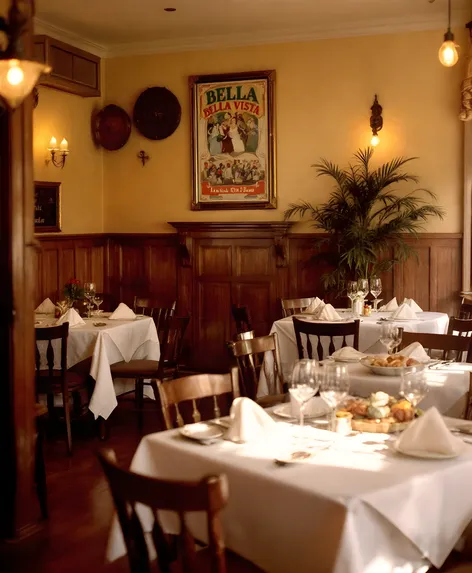
Filmmaker Giovanni Fellini Sr ' s Italian Restaurant " Bella Vista" in Wilmington North Carolina Circa 1980
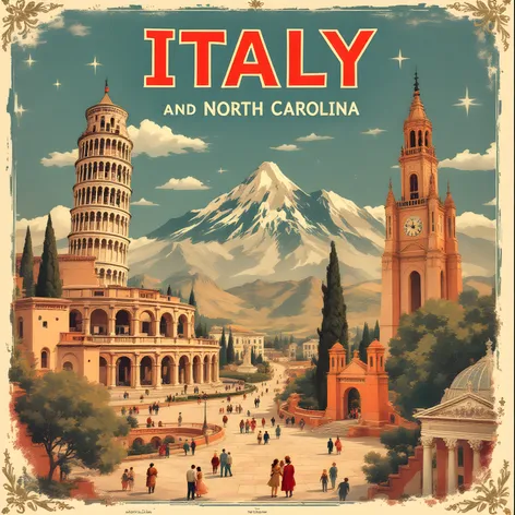
Retro Themed Italy North Carolina Friendship Poster Circa 1979 designed by Famed Italian Filmmaker Giovanni Fellini Sr
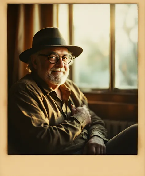
A Retro polaroid picture of Italian Filmmaker Giovanni Fellini Sr ( 1919-2019) Circa 1979 at his house in Wilmington North Carolina located on the Trade Winds Film Studio Property
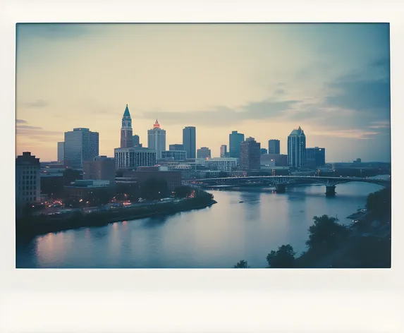
Wilmington North Carolina Skyline Retro polaroid Themed Picture