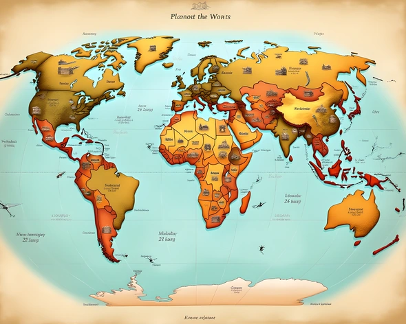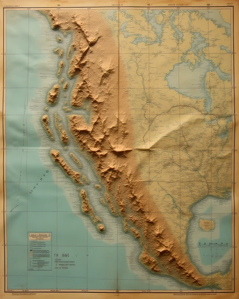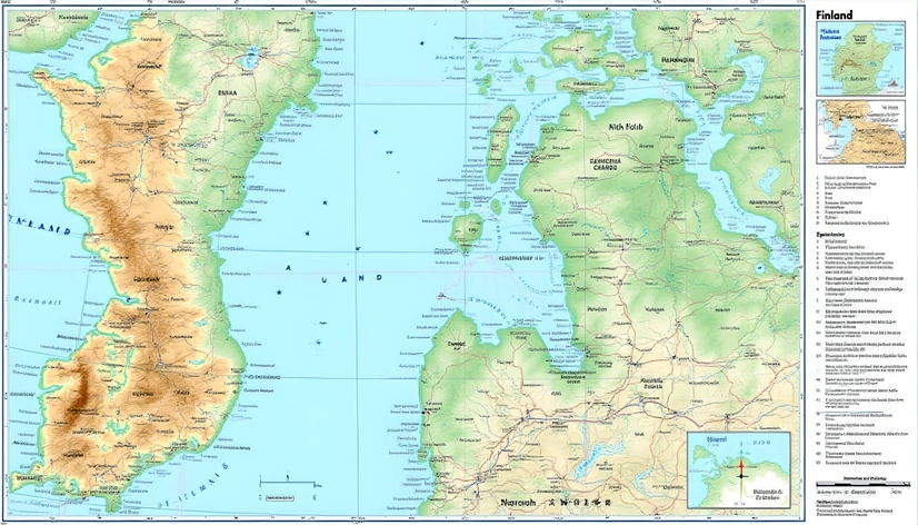
world map of finland
Resize and add details
Convert to video
Outpaint the rest of the image
Additional Info
ModelFlux
Seed1288173409
Enhanced Promptgeography, political boundaries, natural features, urban areas, major cities, lakes, rivers, coastal regions, latitude range 60-70°N, longitude range 20-30°E, scale 1:5000000, color scheme blues and greens for water, browns and tans for land, contour lines every 200 meters, road network labeled, major highways highlighted, national parks and protected areas shaded, forest cover and tree density indicated, climate zones and vegetation types shown, elevation data included, compass rose and north arrow, inset maps of Helsinki and other major cities, title "Finland World Map", key and legend with explanations, size A3 paper, printed on glossy paper, folded for easy storage and handling, laminated for durability, additional information available online.