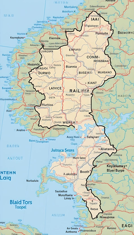
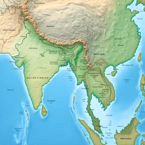
andorra location on map
Resize and add details
Convert to video
Outpaint the rest of the image
Additional Info
ModelFlux
Seed1376862817
Enhanced PromptEurope, Pyrenees mountains, bordering France and Spain, landlocked country, nestled between the Val d'Aran and the Capcir, Cerdanya, and Alt Urgell regions, capital city Andorra la Vella, surrounding mountain peaks, ski resorts, picturesque villages, traditional architecture, unique blend of Catalan and French cultures, bordered by the main roads N-145, C-14, and CG-2, proximity to Barcelona and Toulouse, official languages Catalan and Spanish, population around 72,000, known for duty-free shopping, tax-free zone, and winter sports facilities, situated within the Eastern Pyrenees region, average elevation approximately 1,996 meters above sea level, diverse geography ranging from valleys to high mountains, rich cultural heritage and history, popular tourist destination, unique microclimate, featuring snow-capped mountains, lush forests, and rolling hills, European Union member via special arrangements, parliamentary democracy, constitutional monarchy, Prince of Andorra head of state, government based in Casa de la Vall, historical significance as a strategic location along trade routes, picturesque scenery, and mild climate.