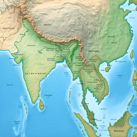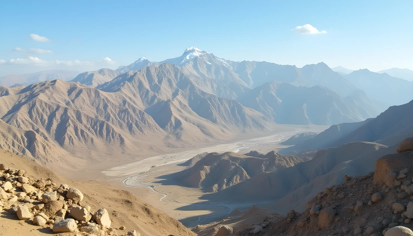
zagros mountians map location
Resize and add details
Convert to video
Outpaint the rest of the image
Additional Info
ModelFlux
Seed600867971
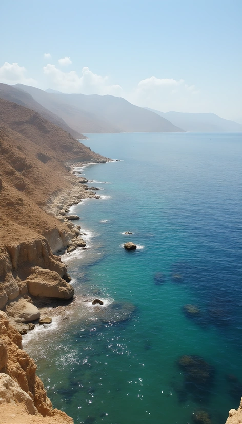
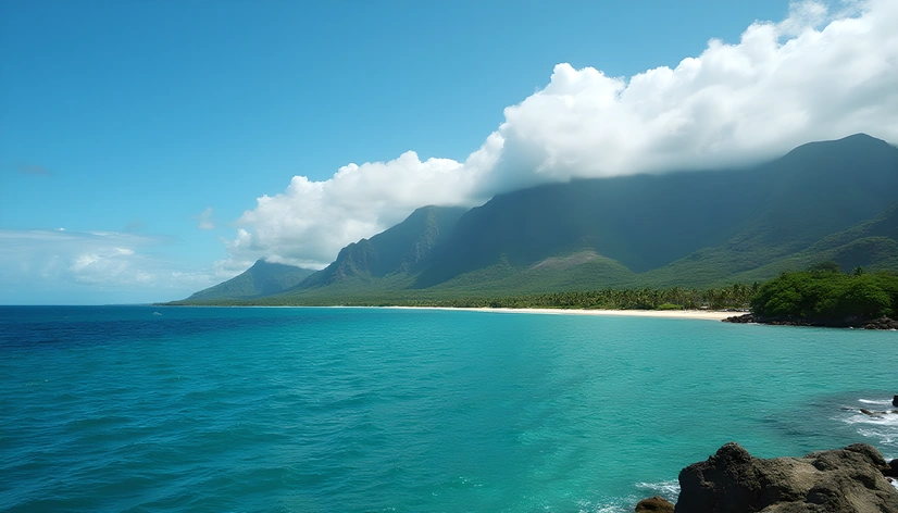
Enhanced PromptMountain range in Iran, Zagros Mountains, situated between latitudes 34°N and 38°N and longitudes 44°E and 50°E, rugged terrain, vast deserts, forests, mountains, plateaus, and valleys, diverse geological formations including volcanic rocks, sedimentary layers, and metamorphic rocks, home to numerous ancient civilizations, strategic trade routes, natural resources, unique flora and fauna, cultural heritage sites, snow-capped peaks, varied climate zones, including subtropical, temperate, and alpine regions, influenced by Mediterranean, Caspian, and Arabian climatic influences, mountain ranges stretch across western Iran, eastern Turkey, northern Iraq, and northeastern Syria, approximately 1,500 km long and up to 200 km wide, highest peak is Mount Zard Kuh, 4,546 meters above sea level, geological history dating back to Precambrian era, diverse geology shaped by tectonic forces, erosion, and weathering processes, human settlement and agriculture date back to Paleolithic period, significant archaeological discoveries, including ancient cities, artifacts, and ruins, rich cultural heritage reflecting various empires and dynasties, including Median, Achaemenid, Parthian, Sassanian, Arab, Seljuk, Ilkhanate, Timurid, Safavid, Afsharid, Qajar, and Pahlavi periods, diverse ecosystems supporting wildlife, including Persian leopard, Asiatic cheetah, and gazelle species, hydrological importance due to numerous rivers, including Tigris, Euphrates, Karun, and Karkheh, spiritual significance for local communities and faiths, including Zoroastrianism, Christianity, Islam, and Yazidism, tourism potential due to scenic landscapes, trekking opportunities, ski resorts, historical sites, and cultural events.