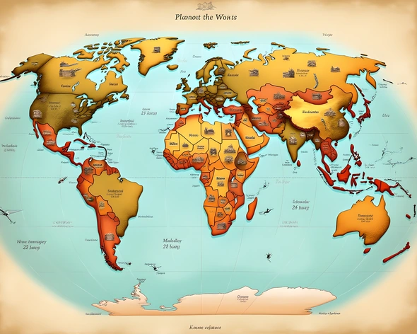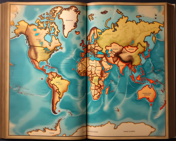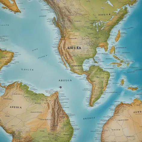
aruba on world map
Resize and add details
Convert to video
Outpaint the rest of the image
Additional Info
Steps7
SamplerK_EULER_ANCESTRAL
CFG Scale2
Seed902723436
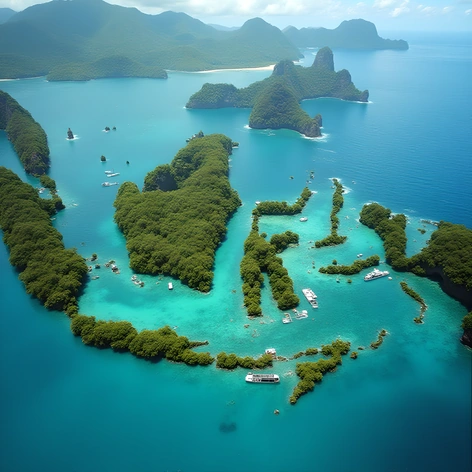
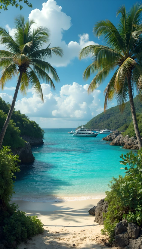
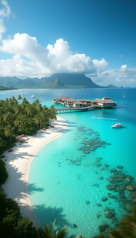
Enhanced Promptsmall island nation, southern Caribbean Sea, located off the coast of Venezuela, northernmost of the three islands that make up the ABC Islands, Aruba, Bonaire, and Curaçao, island of Aruba, 193 square kilometers in size, 31 kilometers long, 10 kilometers wide, capital and largest city, Oranjestad, situated on the southwestern coast, population of approximately 105,000 people, diverse culture, mix of indigenous, African, and European influences, official languages, Dutch and Papiamento, island known for white-sand beaches, crystal-clear waters, coral reefs, and desert landscapes, Arikok National Park, covering 20% of the island, featuring rugged terrain, cacti, and divi-divi trees, warm and sunny climate, average temperature, 28 degrees Celsius, island economy, heavily reliant on tourism, also known for its oil refinery, and offshore banking, world map, highlighting the location of Aruba, in relation to the Caribbean Sea, and the countries of South America, digital illustration, 2D, colorful, informative, geography, and educational, purpose, accurate representation of the island's location, and features, for use in academic, or travel-related contexts.