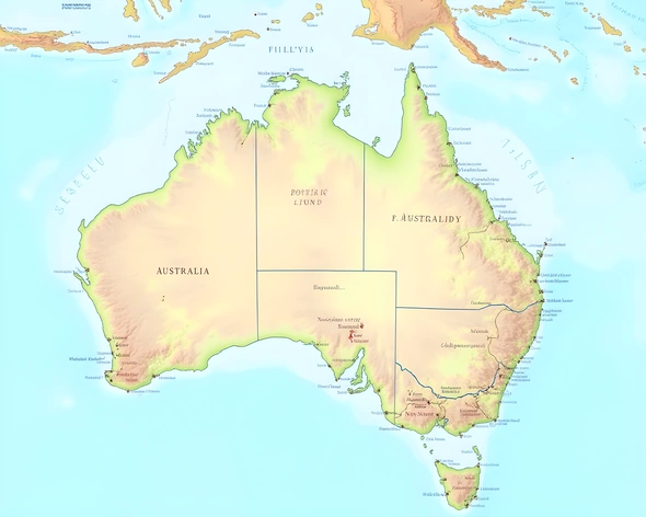
australia political map
Resize and add details
Convert to video
Outpaint the rest of the image
Additional Info
ModelFlux
Seed1448262231
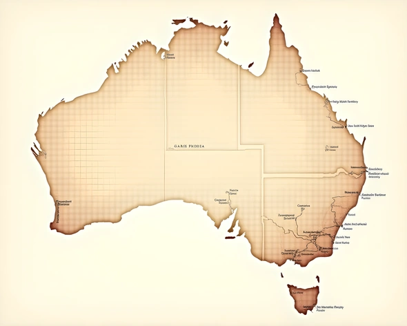
Enhanced PromptAustralia political map, simplified outline of borders, 6 states and 2 territories, Western Australia, Northern Territory, South Australia, Queensland, New South Wales, Victoria, Tasmania, Australian Capital Territory, Jervis Bay Territory, prominent cities marked, Sydney, Melbourne, Brisbane, Perth, Adelaide, Hobart, Darwin, Canberra, major rivers and coastlines highlighted, subtle watercolor effect, muted earth tones, faint grid overlay, low-resolution texture giving a vintage feel, 1920 x 1080 resolution, RGB color mode, Adobe Photoshop CS6 file format, saved as a layered PSD