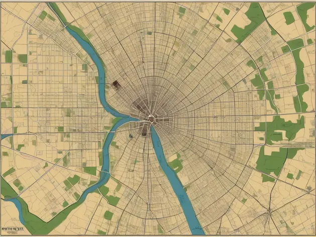
fort wayne indiana on map
Resize and add details
Convert to video
Outpaint the rest of the image
Additional Info
ModelFlux
Seed1506466982
Enhanced PromptFort Wayne, Indiana, situated in northeastern part of the state, located at the confluence of the St. Marys River and the Maumee River, positioned approximately 18 miles west of Ohio border, nestled in Allen County, home to the city of New Haven and the town of Grabill, bordered by DeKalb County to the north, Adams County to the east, Wells County to the south, and Huntington County to the west, major highways include Interstate 69 and US Route 24, near the intersection of Interstate 69 and Interstate 469, accessible via Fort Wayne International Airport, known for its rich aviation history, historic sites like the Fort Wayne Children's Zoo, Science Central, and the History Center, surrounded by picturesque parks and natural areas including the Franke Park and the Fox Island County Park, diverse neighborhoods such as Downtown Fort Wayne, the Summit City neighborhood, and the Riverview Historic District, population around 265,956 according to 2020 census estimates, regional hub for industries like healthcare, education, and manufacturing, home to several notable companies including Lincoln Financial Group, Do it Best Corporation, and Steel Dynamics, area attractions include the Embassy Theatre, the Fort Wayne Philharmonic, and the Foellinger-Freimann Botanical Conservatory, situated along the Maumee River waterfront with opportunities for boating, fishing, and scenic views.