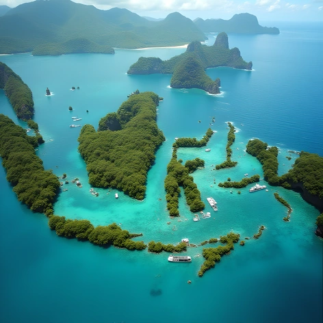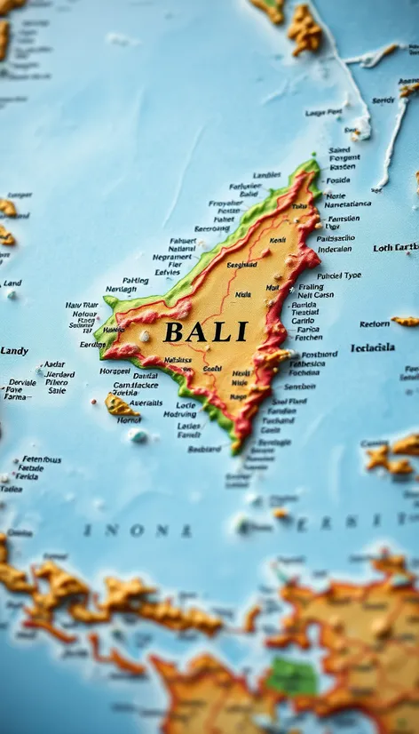
bali on the map
Resize and add details
Convert to video
Outpaint the rest of the image
Additional Info
Steps27
Samplerddim
CFG Scale6.9
Seed219951399
Enhanced Promptisland of Bali, located at 8.65° S latitude and 115.13° E longitude, nestled between the islands of Java and Lombok, part of the Lesser Sunda Islands, within the Indonesian archipelago, specifically situated in the Bali Sea, to the north, and the Indian Ocean, to the south, measuring approximately 153 km in width and 112 km in length, with a total area of around 5,780 km², comprising a diverse geography of volcanic mountains, lush forests, and sandy beaches, including the prominent volcanic peak of Mount Agung, standing at 3,031 meters tall, and the scenic Lake Batur, largest town and capital city being Denpasar, known for its rich cultural heritage, including traditional Balinese Hindu temples, vibrant festivals, and artisanal craftsmanship, a popular tourist destination, attracting visitors from around the world with its stunning natural beauty, beautiful beaches, temples, vibrant culture, and friendly locals, playing a significant role in Indonesia's tourism industry, map scale of 1:250,000, using a Mercator projection, displaying major cities, towns, and geographical features, including rivers, lakes, and mountains, with relief shading to highlight the island's topography, image resolution of 300 DPI, created using a combination of satellite imagery and geographical information system (GIS) data, with a color palette that reflects the natural environment, using shades of green for forests, blue for water bodies, and brown for mountains, overlaid with a grid system for easy reference, including a legend and key to explain the various symbols and markings used on the map, suitable for use in educational institutions, travel agencies, and by individuals seeking a detailed and informative map of the island of Bali, Indonesia.