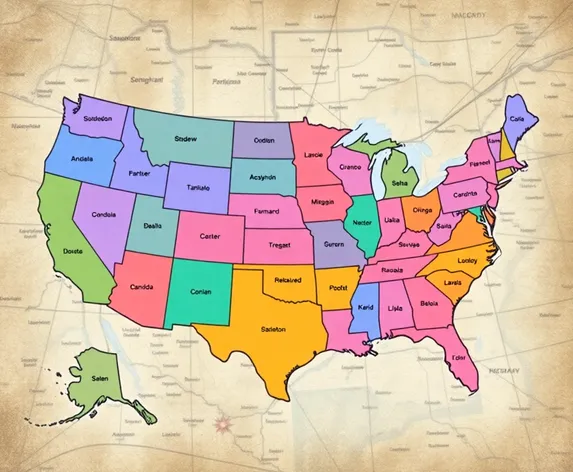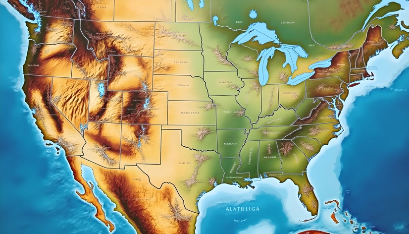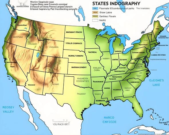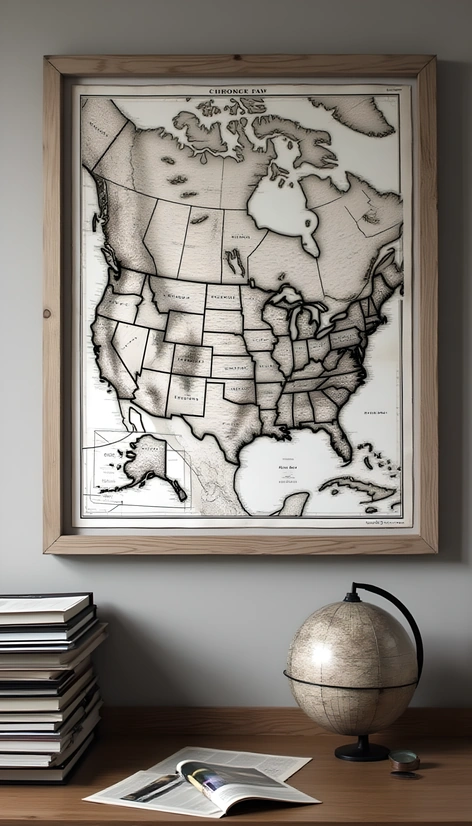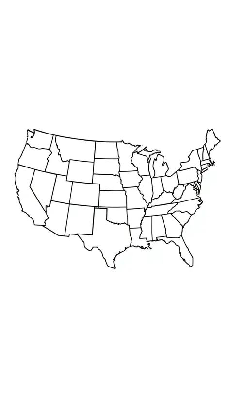
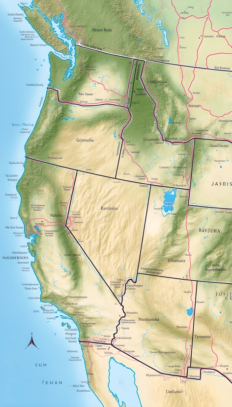
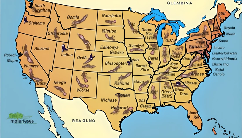
black and white map
Resize and add details
Convert to video
Outpaint the rest of the image
Additional Info
Steps40
Samplerddim
CFG Scale8.6
Seed975528222
Enhanced Prompthighly detailed black and white map of the United States, showcasing all 50 states, with clear boundaries and borders, intricate topography, and notable geographical features, including mountains, rivers, and lakes, major cities and metropolitan areas, such as New York City, Los Angeles, and Chicago, represented by varying densities of black ink, with larger cities depicted in bold font, and smaller towns and cities in lighter, yet still legible font, interstate highways and major roads, including Route 66, visible as a network of black lines connecting the country, with railroad tracks and other infrastructure also represented, national parks, forests, and wildlife refuges, denoted by unique symbols and shading, state capitals, marked with a distinctive star or icon, the Great Lakes, the Gulf of Mexico, and the Atlantic and Pacific Oceans, forming the country's borders, with subtle shading to indicate depth, the map's scale and legend, located in a corner, providing context and explanation for the various symbols and markings, the overall design, reminiscent of classic cartography, with a focus on clarity and precision, the black and white color scheme, lending a sense of timelessness and elegance to the map, while also emphasizing the country's diverse geography and infrastructure, a true masterpiece of mapmaking, suitable for display in a home, office, or educational setting, printed on high-quality paper, with a matte finish, to minimize glare and enhance the overall viewing experience, a beautiful and informative piece, that will inspire a sense of wonder and curiosity about the United States and its many wonders.
More Ai art like black and white map

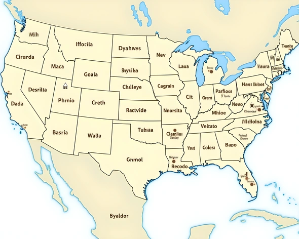
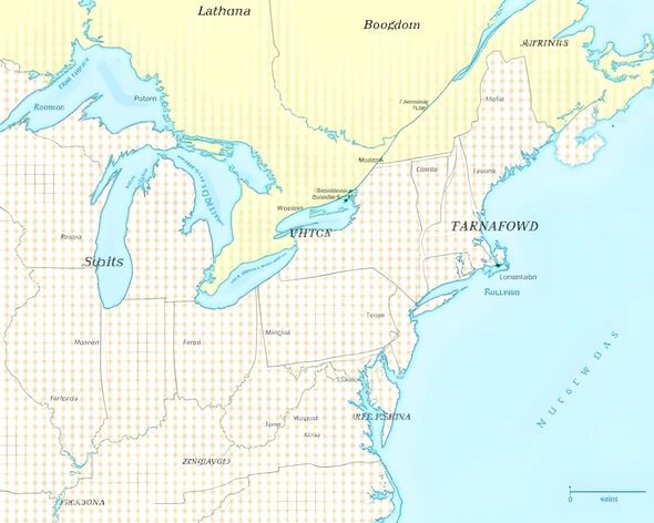
map of the united states with capitals printable
Map of the united states with capitals printable