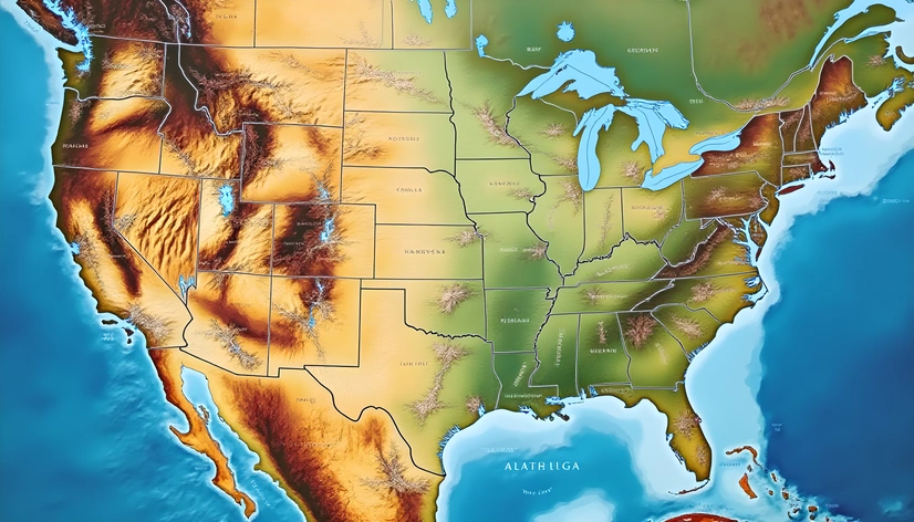
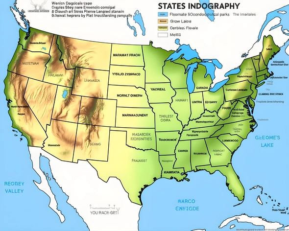
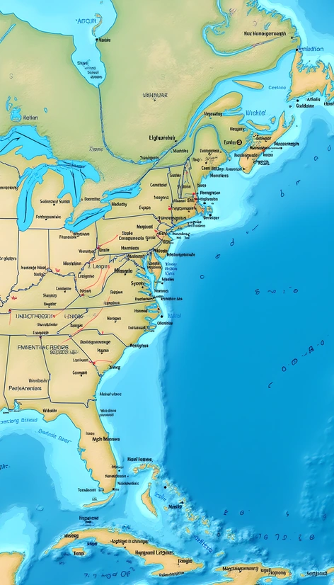
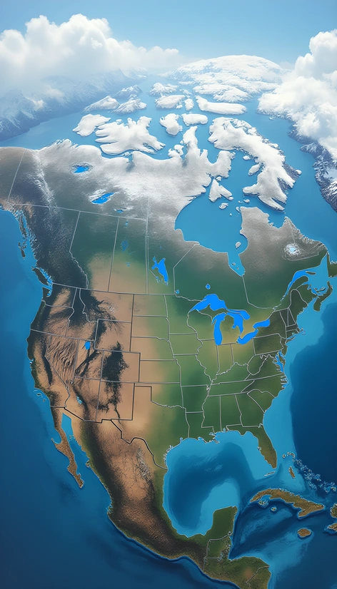
photo of united states map
Resize and add details
Convert to video
Outpaint the rest of the image
Additional Info
ModelFlux
Seed1238159584
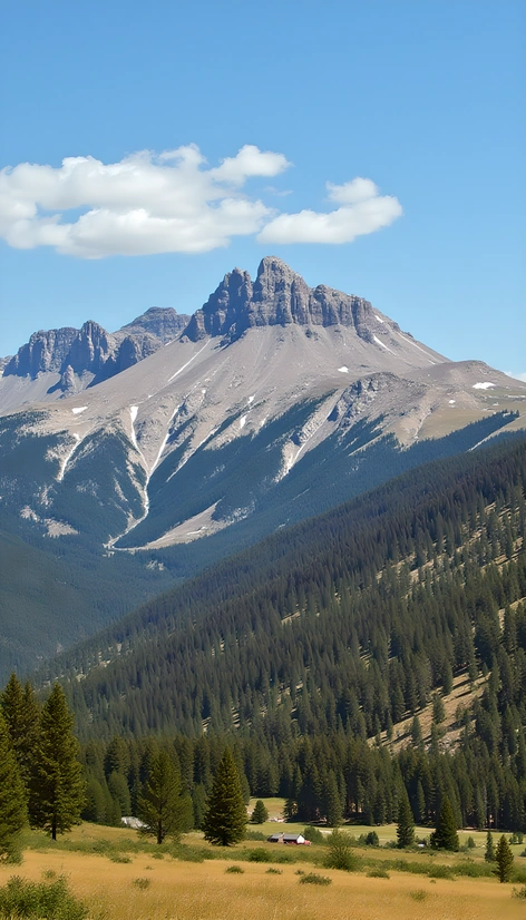
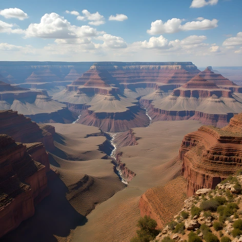
Enhanced Promptcontinental usa, standard projection, landmasses and coastlines clearly defined, subtle gradient shading indicating elevation changes, prominent mountain ranges, notable rivers and lakes, state borders outlined, distinct colors for each state, detailed representation of major cities and metropolitan areas, minimal labels and annotations, atmospheric perspective effect for depth, slightly desaturated color palette, muted blues and greens for water features, warm tones for terrain, realistic texture overlay for added depth, slight haze around distant features, moderate resolution for clear visibility, no unnecessary clutter or information, emphasis on geographical accuracy, flat perspective to avoid distortion, recognizable landmarks like the Grand Canyon and Yellowstone National Park, inclusion of Alaska and Hawaii, seamless integration of territories and overseas possessions, accurate depiction of international borders, harmonious color balance, visually appealing composition, straightforward and easy-to-read layout, subtle grid pattern underlying the map for reference, faint outline of the Bering Strait, inclusion of the Aleutian Islands, clear distinction between urban and rural areas, prominent display of major highways and roads, comprehensive coverage of national parks and forests, realistic night-time illumination, dramatic sunset or sunrise atmosphere, stunning visual impact, captivating and informative, 1:10 million scale, traditional cartographic style, no excessive embellishments, simple yet effective design, visually engaging and educational, map size approximately 24x36 inches, printed on high-quality paper, laminated for durability.
More Ai art like photo of united states map


map with longitude and latitude united states
Map with longitude and latitude united states
map of the united states with capitals printable
Map of the united states with capitals printable