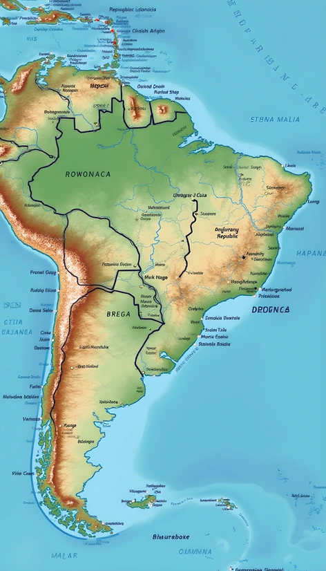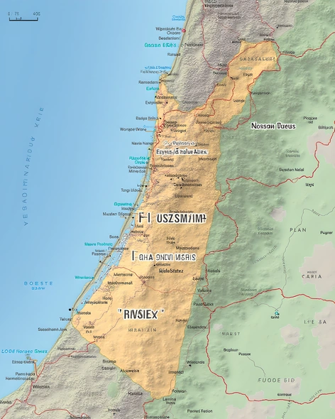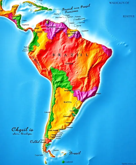
brazil map world map
Resize and add details
Convert to video
Outpaint the rest of the image
Additional Info
Steps34
Samplerdpm++
CFG Scale7.2
Seed245218874
Enhanced PromptBrazil map, world map, geographical layout, precise country borders, detailed Brazilian states, neighboring countries labeled, Atlantic Ocean coastline, iconic cities pinpointed, Amazon rainforest region shaded, vibrant color scheme differentiating countries, high-resolution image, intricate network of rivers and roads, country capitals annotated, latitude and longitude lines, Mercator projection, scale indicating distances, legend explaining map symbols, digital rendering, 2D representation, rectangular frame, landscape orientation, centered on Brazil, subtle texture resembling parchment, pixel-perfect rendering, 300 DPI resolution, suitable for printing, educational purposes, travel planning, or decorative use, created using geographic information systems (GIS), accurate and up-to-date information, visually appealing and informative, a blend of modern design and traditional cartography, appealing to geographers, travelers, and researchers alike, downloadable in various formats, easily shareable and embeddable, a valuable resource for understanding Brazil's place in the world, a testament to the beauty of cartography and the power of visual representation.