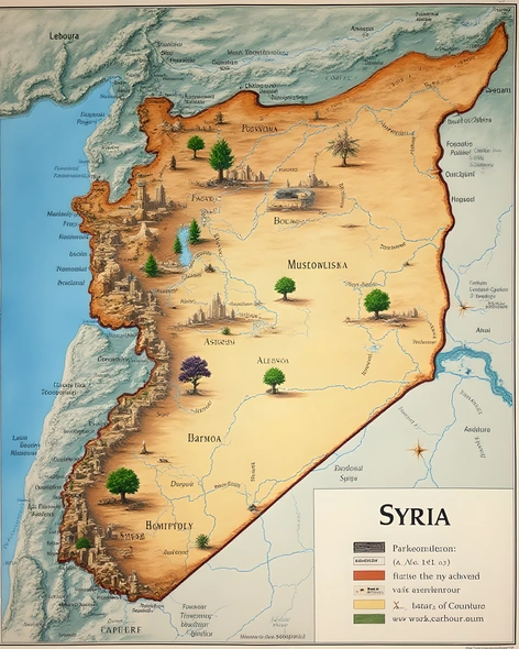
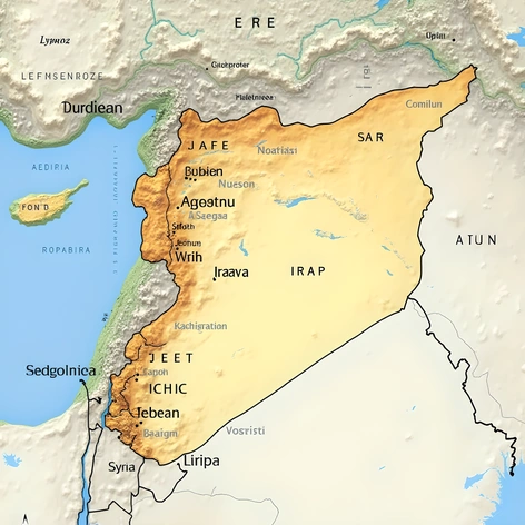
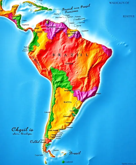
dominican republic map world map
Resize and add details
Convert to video
Outpaint the rest of the image
Additional Info
ModelFlux
Seed548832196
More Ai art like dominican republic map world map
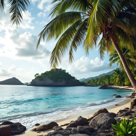
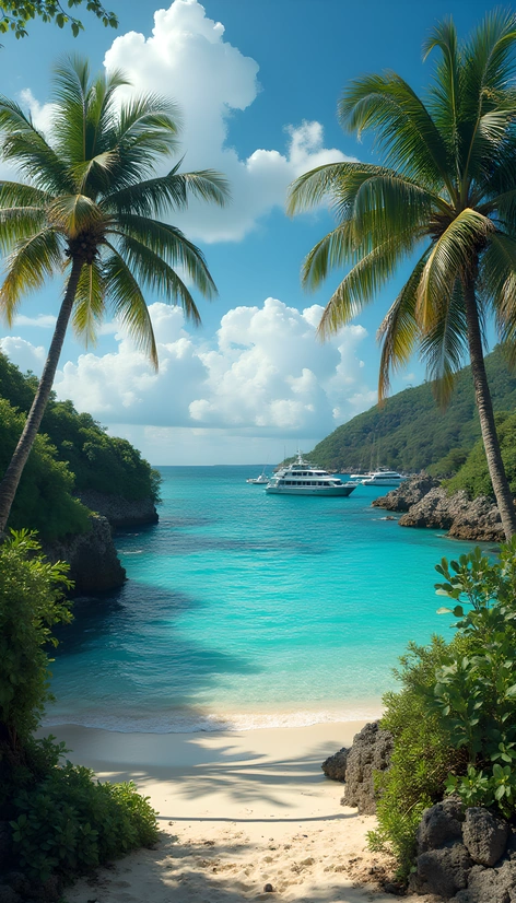
Jamaica, numerous beaches along the coastlines, coral reefs surrounding the islands, warm climate with temperatures ranging from 22°C to 30°C throughout the year, influenced by trade winds and hurricane seasons, rich cultural heritage reflecting African, Spanish, French, British, and indigenous influences, notable cities include Havana in Cuba, Santo Domingo in the Dominican Republic, Kingston in Jamaica, San Juan in Puerto Rico, and George Town in the Cayman Islands, economic activities centered around tourism, agriculture, fishing, and manufacturing, with significant contributions from remittances and foreign investment, strategic location facilitating maritime trade routes between North America, South America, and Europe, historical significance marked by colonialism, piracy, and slavery, present-day challenges including poverty, crime, and environmental degradation, efforts towards sustainable development and preservation of natural resources, unique biodiversity characterized by mangrove forests, sea turtles, and exotic bird species, beautiful sunsets, vibrant music and dance traditions, distinct Creole languages spoken across the region, complex history reflected in architecture, cuisine, and art, popular tourist destinations like Varadero Beach in Cuba, Punta Cana in the Dominican Republic, Negril Cliffs in Jamaica, El Yunque National Forest in Puerto Rico, and Stingray City in the Cayman Islands, annual events like Carnival in Trinidad and Tobago, and the Jazz Festival in Havana, UNESCO World Heritage Sites such as Old Havana, Ciudad Colonial in Santo Domingo, and La Fortaleza in San Juan, home to renowned artists, writers, and musicians, including Pablo Milanés, Juan Luis Guerra, and Bob Marley, significant role in international organizations like the Association of Caribbean States and the Organization of Eastern Caribbean States, ongoing efforts to strengthen regional cooperation and address common challenges, Greater Antilles representing a culturally rich and geographically diverse archipelago, essential for global understanding of Caribbean identity and history, geographical features influencing local economies, cultures, and ways of life, resilient people adapting to changing circumstances, strong sense of community and shared experiences, vital connections to Africa, Europe, and other regions, continued importance in the modern world due to its unique blend of influences, stunning landscapes, and captivating culture.