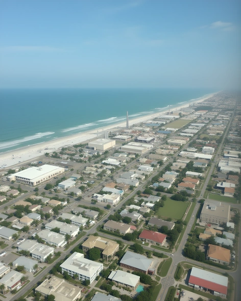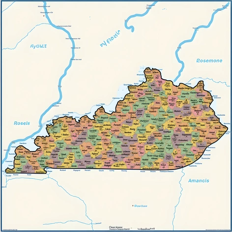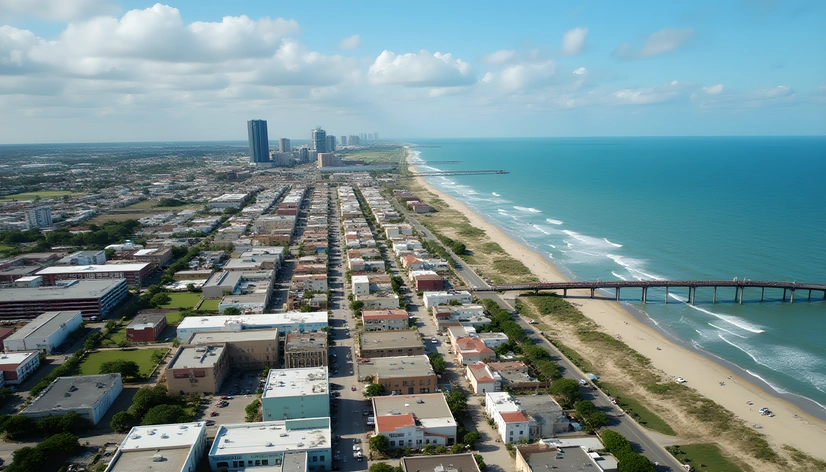
city of corpus christi map
Resize and add details
Convert to video
Outpaint the rest of the image
Additional Info
ModelFlux
Seed479884463
Enhanced Promptcoastal cityscape, Corpus Christi, Texas, USA, vibrant street art murals, scenic views of the Gulf of Mexico, USS Lexington Museum, Padre Island National Seashore, American Bank Center, Harbor Bridge, Mustang Island State Park, Corpus Christi Bay, downtown area, historic architecture, lively waterfront promenade, picturesque marina, thriving cultural attractions, stunning sunsets, South Texas charm, laid-back atmosphere, blend of Mexican and Texan influences, tropical climate, popular tourist destination, wide beaches, calm waters, outdoor recreation opportunities, seafood restaurants, vibrant nightlife, live music venues, Corpus Christi Museum of Science and History, Texas State Aquarium, USS Lexington aircraft carrier, scenic coastal drives, golf courses, bird-watching, dolphin watching, kayaking, paddleboarding, fishing, beachcombing, Corpus Christi International Airport, airport code CRP, proximity to nearby cities, Port Aransas, Rockport, Port Isabel, Brownsville, Harlingen, McAllen, Laredo, San Antonio, Austin, Houston, Dallas, Fort Worth, El Paso, Rio Grande Valley, Hill Country, Guadalupe Mountains, Big Bend National Park, Laguna Atascosa National Wildlife Refuge, Rio Grande Valley State Parks, Padre Island National Seashore, Mustang Island State Park, Goose Island State Park, Bentsen-Rio Grande Valley State Park, Resaca de la Palma Battlefield State Historic Site, Old Spanish Trail, King Ranch, Choke Canyon State Park, Lake Corpus Christi, Oso Bay, Nueces River, bayous, marshes, wetlands, salt grass prairies, mesquite thickets, sand dunes, beaches, bluffs, cliffs, gulfward-facing shoreline, east-west orientation, south Texas geography, Rio Grande Plain, Gulf Coastal Prairies and Marshes ecoregion, humid subtropical climate, hot summers, mild winters, temperate springs, warm autumns, average annual rainfall, storm surges, hurricane risk, tropical cyclones, flooding, droughts, wildfires, heatwaves, cold fronts, snowfall, tornadoes, thunderstorms, lightning storms, haboobs, dust devils, sinkholes, mudslides, landslides, oil spills, chemical spills, toxic waste, pollution, environmental concerns, conservation efforts, wildlife refuges, protected areas, national parks, state parks, nature reserves, wildlife sanctuaries, marine life, sea turtles, dolphins, whales, manatees, alligators, crocodiles, birds, fish, shellfish, shrimp, crabs, lobsters, oysters, mussels, clams, scallops, squid, jellyfish, sharks, rays, stingrays, sawfish, tarpon, red snapper, speckled trout, flounder, red drum, spotted seatrout, largemouth bass, smallmouth bass, channel catfish, blue catfish, flathead catfish, white catfish, striped bass, hybrid striped bass, bluegill, redear sunfish, redbreast sunfish, flier, longnose gar, shortnose gar, bull shark, tiger shark, hammerhead shark, bonnethead shark, blacktip shark, lemon shark, nurse shark, zebra shark, southern stingray, cownose ray, eagle ray, spotted eagle ray, southern stingray, Atlantic sharpnose shiner, fat sleeper shark, bull shark, great barracuda, jacks, pompano, ladyfish, mullet, sardines, anchovies, menhaden, herring, killifish, killifish, silverside, hardhead, mojarras, mojarras, mojarra,