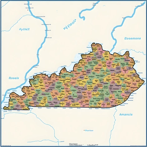
kentucky city map with counties
Resize and add details
Convert to video
Outpaint the rest of the image
Additional Info
ModelFlux
Seed1512908570
Enhanced PromptKentucky county map,
comprehensive map of Kentucky state,
showcasing all 120 counties,
large-scale map format,
color-coded to differentiate between counties,
clearly labeled county names and borders,
high-resolution digital map,
geospatial data accurate to 2020 census boundaries,
includes major cities and roads,
physical features like rivers and mountains,
legend explaining map symbols and colors,
printed on heavy-duty water-resistant paper,
rolled up for easy storage and transportation,
ideal for navigation and planning purposes,
scaled to 1:250,000,
published by US Census Bureau or National Geographic,
dated 2022 or later edition,
including information on population density,
elevation contours, and climate zones,
compatible with ArcGIS software,
used for urban planning, research, and education,
reflecting current administrative divisions,
highlighting county seats and major attractions,
easy to read and understand,
available in both English and Spanish languages.