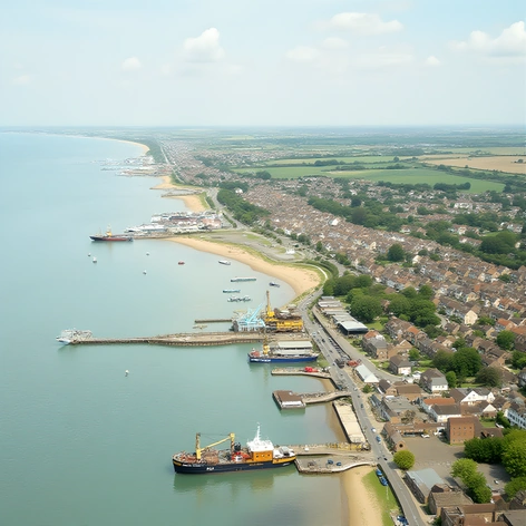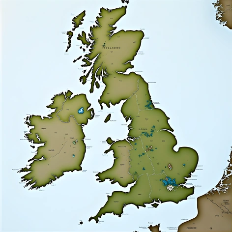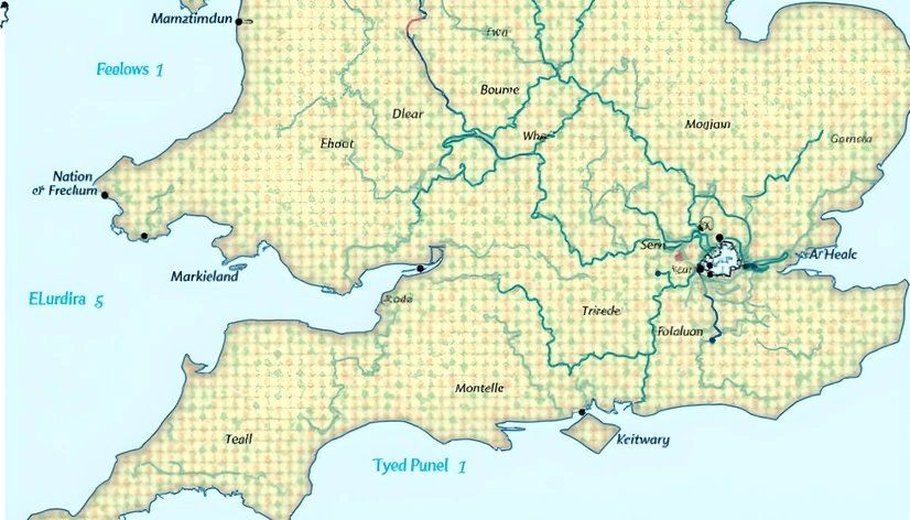
england regions map
Resize and add details
Convert to video
Outpaint the rest of the image
Additional Info
ModelFlux
Seed1718965181
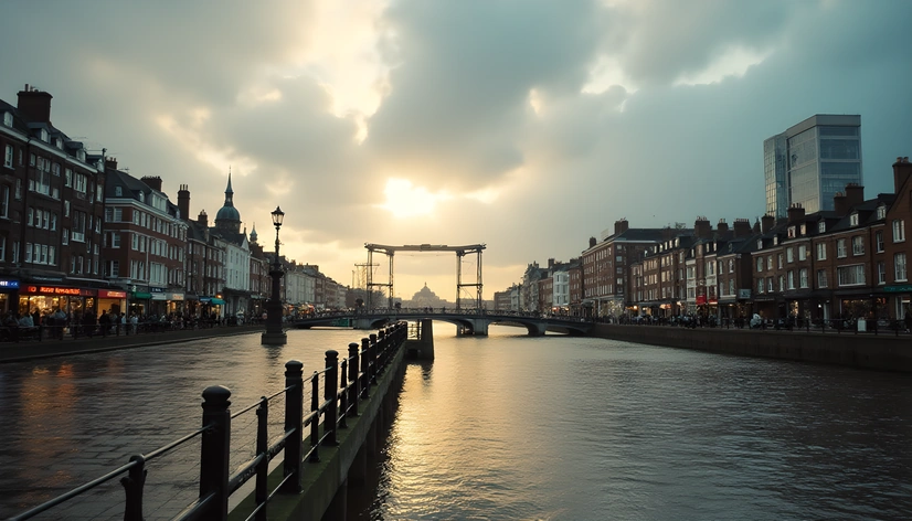
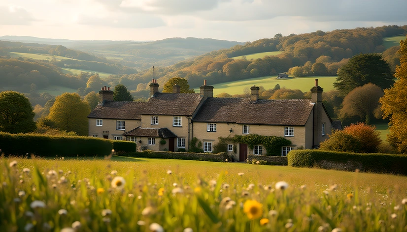
Enhanced PromptEngland, 13 regions, county boundaries, UK administrative divisions, Ordnance Survey mapping data, geographic information systems, England region maps, historical counties, modern local government areas, regional development agencies, distinct cultural identities, varying population densities, urban vs rural landscapes, prominent cities and towns, transportation networks, major roads, motorways, A-roads, B-roads, railway lines, canals, historic trade routes, economic hubs, tourist destinations, national parks, Areas of Outstanding Natural Beauty, Sites of Special Scientific Interest, UNESCO World Heritage Sites, diverse natural environments, coastlines, mountains, hills, valleys, moors, fens, heaths, woodlands, wetlands, rivers, lakes, reservoirs, geologic formations, unique rock types, karst landscapes, glacial features, periglacial landforms, coastal erosion patterns, tidal ranges, wave-cut platforms, beaches, dunes, cliffs, headlands, coves, estuaries, deltas, river mouths, floodplains, alluvial plains, arable land, agricultural land uses, woodland cover, grassland habitats, wetland ecosystems, wildlife reserves, nature conservation sites, protected areas, designated landscapes, Local Nature Reserves, National Trust properties, Country Parks, Regional Parks, Green Belts, Metropolitan Green Belt, metropolitan districts, non-metropolitan counties, unitary authorities, shire counties, ceremonial counties, lieutenancy areas, High Sheriffdoms, Historic Counties Commission, boundary changes, reorganisation, local government reform, devolution, English regions, North East, North West, Yorkshire and the Humber, East Midlands, West Midlands, East of England, London, South East, South West, these are the main geographical, political, and environmental aspects of England's regions.