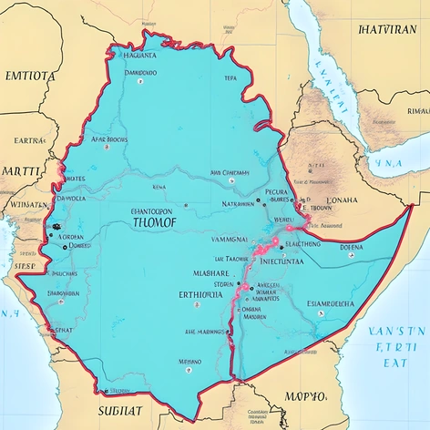
ethiopia on a world map
Resize and add details
Convert to video
Outpaint the rest of the image
Additional Info
ModelFlux
Seed1407228004
Enhanced PromptAfrica, Ethiopia, country located in the Horn of Africa region, bordered by Djibouti to the east, Somalia to the southeast, Kenya to the south, South Sudan to the west, Sudan to the northwest, Eritrea to the north, red border marking its territory, outlined in white, highlighted in bright blue to emphasize its position, surrounded by the surrounding countries' borders, labeled in a clear sans-serif font, with country names written in their native languages above their respective borders, the Ethiopian Highlands rising in the center, the Great Rift Valley stretching across the southern part of the country, the Afar Triangle marked by its unique geological features, the Ogaden Desert covering much of eastern Ethiopia, the Blue Nile River flowing through the western part of the country, the Omo River forming the southwestern boundary, the Danakil Depression, one of the lowest places on Earth, situated in the far northeast corner, the Ethiopian Highlands giving way to the lowlands in the east, the climate varying greatly depending on elevation and season, the terrain ranging from tropical savannas to temperate grasslands and deserts, the country's diverse geography supporting a wide range of flora and fauna, the map scale clearly indicated in the bottom right corner, a subtle grid pattern underlying the map to provide additional context, the colors used to represent different regions and geographical features consistent throughout the map, the overall design aiming to strike a balance between simplicity and information density, easy to read and understand even at a glance, suitable for educational purposes, printed on high-quality paper with a matte finish, dimensions 24x36 inches, perfect for classroom use or personal reference.