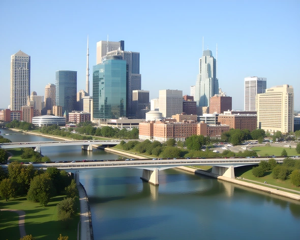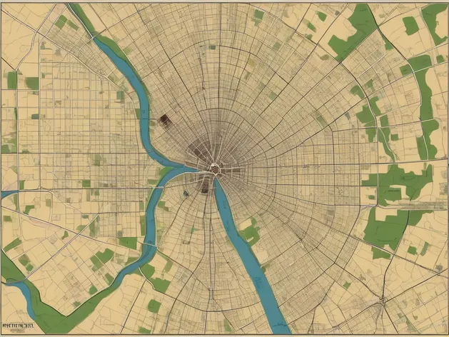
map of fort wayne
Resize and add details
Convert to video
Outpaint the rest of the image
Additional Info
Steps7
SamplerK_EULER_ANCESTRAL
CFG Scale2
Seed405578687
Enhanced PromptHistoric downtown Fort Wayne, Indiana, map, highlighting the city's iconic Three Rivers, scenic Rivergreenway, and notable landmarks, a 2D illustration, traditional map style, earthy tones, with precise labeling, accurate street names, and relevant points of interest, framed by a subtle border, including a compass rose and a legend, aerial view, scale of 1:10,000, created in Adobe Illustrator, font Open Sans, size 40 inches by 60 inches, 300 DPI resolution, bold lines and vibrant colors, detailed topography, tree-filled parks, meandering rivers, and historic architecture, precise geographic features, street grid pattern, notable buildings, and popular attractions, easily readable labels, downtown area, including Harrison Square, Headwaters Park, and the Embassy Theatre, surrounding neighborhoods, and nearby universities, comprehensive map, providing a clear understanding of the city's layout, useful for tourists, residents, and business owners, alike, showcasing the city's unique character, and highlighting its many attractions, and amenities.