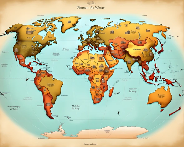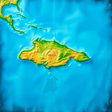
jamaica on world map
Resize and add details
Convert to video
Outpaint the rest of the image
Additional Info
Steps36
Samplerdpm++
CFG Scale7.3
Seed973765424
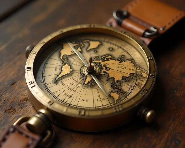
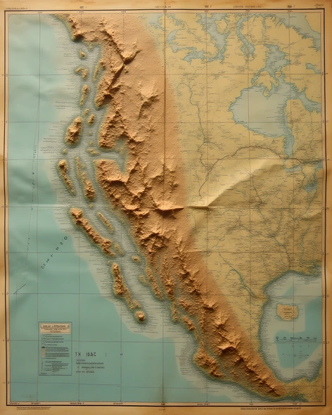
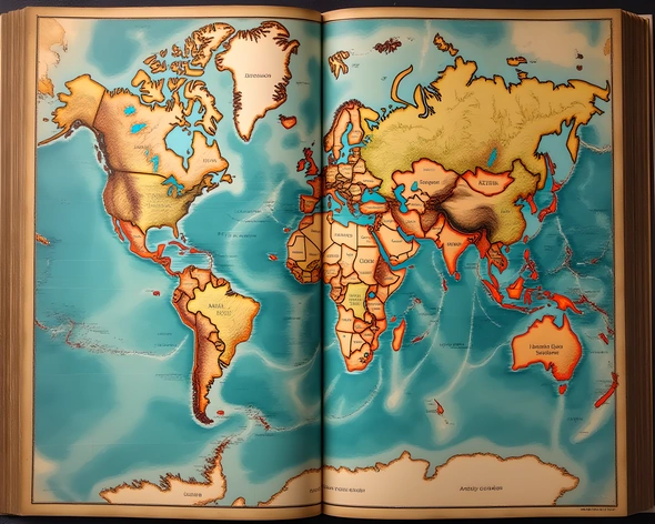
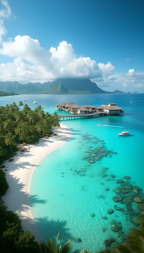
Enhanced PromptJamaica, island nation located in the Caribbean Sea, situated on the world map, pinpointed at 18.1096° N latitude, 77.2975° W longitude, third-largest island of the Greater Antilles, lying south of Cuba and west of Haiti, part of the West Indies, within the tropics, bounded by the Caribbean Sea to the north, east, and south, and the Atlantic Ocean to the west, approximately 146 miles long and 51 miles wide, covering an area of 4,243 square miles, featuring a lush topography of mountains, rainforests, and beautiful beaches, with the Blue Mountains dominating the eastern edge, capital city Kingston situated on the southeastern coast, marked by a rich cultural heritage, warm climate, and stunning natural beauty, digital world map displaying country boundaries, major cities, and geographical features, zoomed-in view of the Caribbean region, colorful terrain shading, 3D globe perspective, world map centered on the Americas, geographic coordinate grid, scale indicating distance, international borders clearly defined, country names labeled, ocean currents and sea depth illustrated, satellite imagery highlighting island terrain and vegetation, atmospheric conditions depicted through cloud cover and ocean waves, detailed cartography for educational and navigational purposes, digital map data sourced from reputable geographic information systems, high-resolution display for optimal viewing, world map updated with current geographic data and country information.