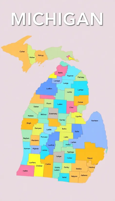
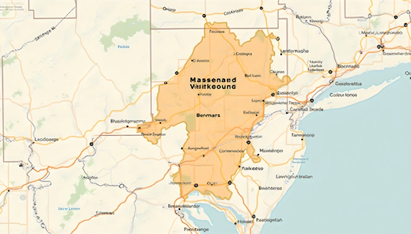
michigan map of counties
Resize and add details
Convert to video
Outpaint the rest of the image
Additional Info
Steps27
Samplereuler_a
CFG Scale6.3
Seed259821307
Enhanced PromptMichigan map of counties, geographical illustration showcasing the Great Lakes State's 83 counties, labeled and demarcated with precision, pastel shades differentiating each county for ease of identification, major cities like Detroit, Grand Rapids, and Lansing marked with subtle icons, state borders and Great Lakes shoreline accurately rendered, additional details including major highways, interstates, and US routes, notable geographic features such as the Upper Peninsula, Mackinac Bridge, and Lake Michigan shoreline, visualized in a clean, modern style, 2D illustration with a subtle gradient effect, soft color palette, legible font sizes and styles, comprehensive and informative, ideal for educational or reference purposes, JPEG image, 300 DPI resolution, optimized for digital display, easily editable and scalable, created using Adobe Illustrator, precise and detailed, carefully crafted to ensure accuracy and clarity, color scheme inspired by the natural beauty of Michigan's landscapes, professional and visually appealing, adhering to cartographic standards and best practices.
More Ai art like michigan map of counties
draw a Michigan map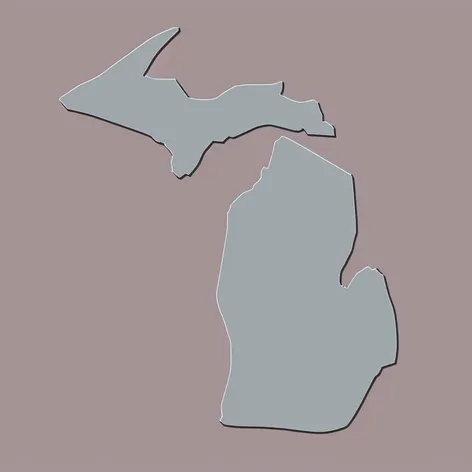
Draw a Michigan map with the upper peninsula with 616 in the middle in the color gray and light blue like the Detroit lions make it animated