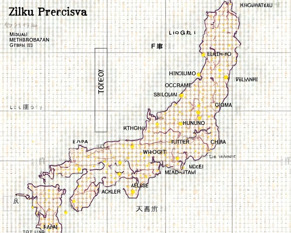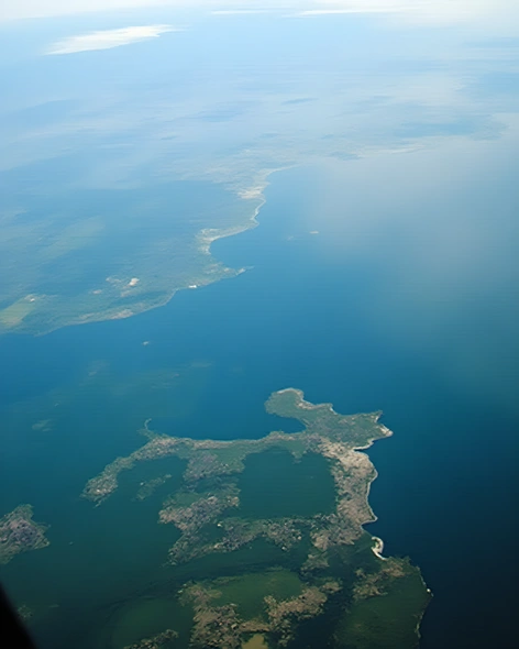
lac tanganyika map
Resize and add details
Convert to video
Outpaint the rest of the image
Additional Info
ModelFlux
Seed753771039
Enhanced Promptlake tanganyika, african great rift valley, eastern africa, bordering burundi, democratic republic of congo, tanzania, and zambia, approximately 670 kilometers long, up to 50 kilometers wide, maximum depth around 1,470 meters, water volume roughly 18,900 cubic kilometers, surface elevation about 773 meters above sea level, deepest point located near the northern end, shoreline characterized by numerous bays, peninsulas, and islands, surrounding mountains include the usambara range and the mufindi plateau, lake's basin formed due to rifting between the tanzanian craton and the mozambican belt, diverse aquatic life including cichlids, lungfish, and other endemic species, significant source of hydroelectric power, major transportation route for cargo and people, strategic location for regional trade and commerce, rich cultural heritage reflected in local traditions and historical sites along its shores