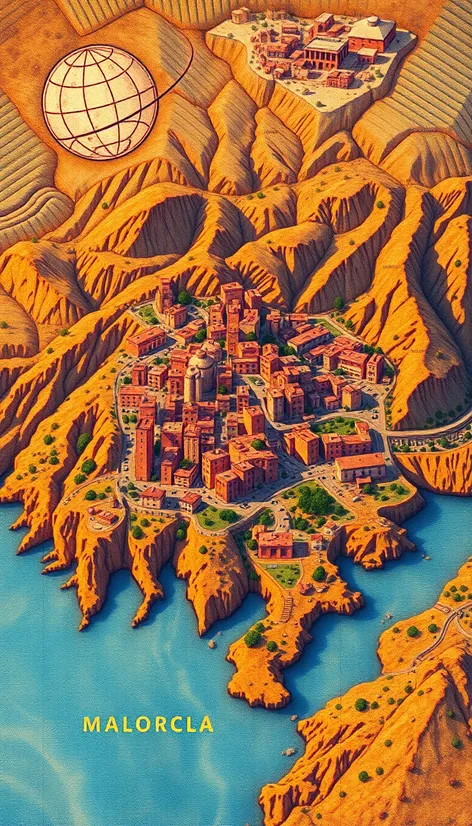
mallorca map
Resize and add details
Convert to video
Outpaint the rest of the image
Additional Info
Steps34
Samplerdpm++
CFG Scale8
Seed275305217
Enhanced Prompt"Mallorca island map, highly detailed, geographic features, terrain elevations, topographic layout, Balearic Islands, Spain, Mediterranean Sea, coastline marked, beaches indicated, major cities labeled, Palma de Mallorca highlighted, roads and highways network, scenic routes marked, mountain ranges shaded, Serra de Tramuntana mountains, agricultural areas designated, natural parks and reserves, Parc Natural de Mondragó, Parc Natural de la Península de Llevant, golf courses pinpointed, tourist attractions noted, historic landmarks, Castell de Bellver, La Seu Cathedral, cultural institutions marked, museums, galleries, festivals and events locations, gastronomic hotspots, traditional cuisine restaurants, olive groves and vineyards, almond tree plantations, scenic viewpoints, miradors, full island coverage, precise scale, accurate labeling, essential travel information, up-to-date mapping, digital cartography, GPS compatible, comprehensive guide, travel itinerary planning, adventure activities, hiking and cycling routes, sailing and water sports, island exploration, navigation and orientation, urban and rural areas, vegetation and relief, shaded relief, contour lines, hypsometric tints, geographic grid, UTM coordinates, latitude and longitude, datum WGS84, map scale 1:100,000, high-resolution image, 300 DPI, lossless compression, Adobe Photoshop CS6, georeferenced, GeoTIFF format"