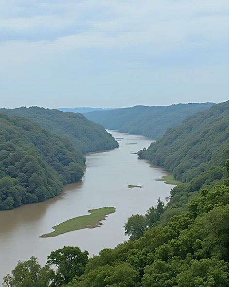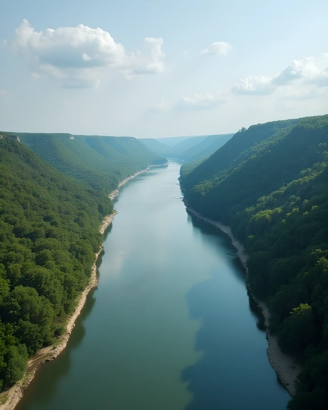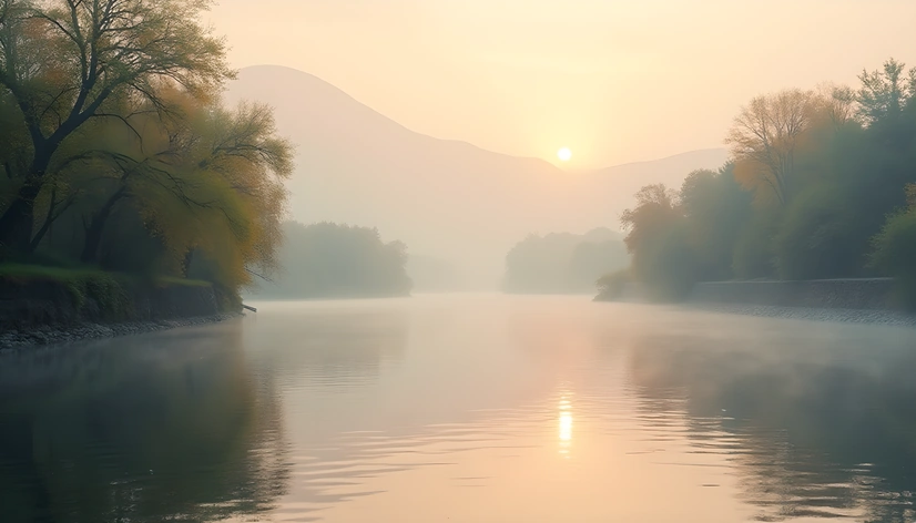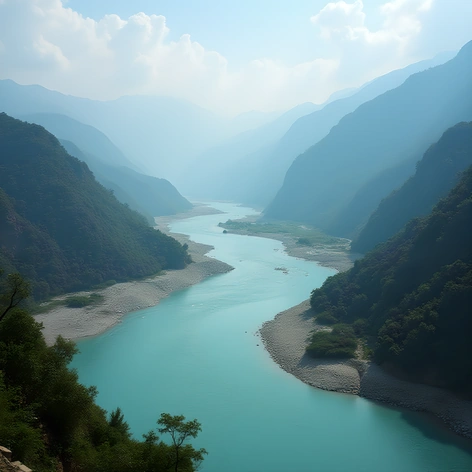
map brahmaputra river
Resize and add details
Convert to video
Outpaint the rest of the image
Additional Info
ModelFlux
Seed1640892326
Enhanced Promptriver system, long and winding, originating from the Angsi Glacier in the Tanggula Mountains, flowing southeast across the Tibetan Plateau, forming the border between India and Bangladesh, approximately 2,900 kilometers in length, passing through four countries, China, India, Myanmar, and Bangladesh, discharge rate averaging around 19,000 cubic meters per second, basin area covering about 735,000 square kilometers, diverse ecosystems supporting numerous aquatic species, including the endangered Ganges River dolphin, significant agricultural production along its banks, hydroelectric power generation, irrigation for crops like rice, jute, and tea, navigable sections supporting commercial shipping, historical importance as a major trade route between ancient civilizations, cultural significance in Hinduism and Buddhism, water quality issues due to pollution from agriculture, industry, and urbanization, efforts underway to restore and protect the river's ecosystem, ongoing conflicts over water sharing and management among riparian states