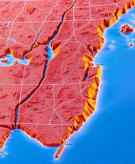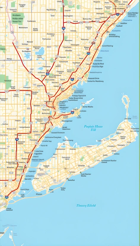
map long island new york
Resize and add details
Convert to video
Outpaint the rest of the image
Additional Info
ModelFlux
Seed35561309
Enhanced PromptLong Island, New York, is a suburban region located in the southeastern part of New York State, separated from Manhattan by the Long Island Sound. It comprises four counties: Nassau County, Suffolk County, Queens County (partially), and Kings County (partially). Here's a map of Long Island: Kings Point, Great Neck, Manhasset, Port Washington, Sands Point, Lawrence, Garden City, Mineola, Westbury, Hicksville, Bethpage, Farmingdale, Plainview, Old Brookville, Jericho, Woodbury, Syosset, Oyster Bay, Locust Valley, Lattingtown, Muttontown, East Norwich, Centerport, Huntington, Cold Spring Harbor, Huntington Station, Greenlawn, Northport, Centre Island, Lloyd Harbor, Halesite, Huntington Bay, South Huntington, Commack, Dix Hills, Half Hollow Hills, Deer Park, Brentwood, Central Islip, Hauppauge, Smithtown, St. James, Lake Grove, Ronkonkoma, Holbrook, Islip, Sayville, Great River, Bohemia, Oakdale, West Islip, Bay Shore, Brightwaters, Lindenhurst, Babylon, Copiague, Amityville, Massapequa, Farmingdale, Seaford, Wantagh, Bellmore, Merrick, Freeport, Baldwin, Rockville Centre, Lynbrook, East Rockaway, Hewlett, Woodsburgh, Freeport, Atlantic Beach, Lido Beach, Point Lookout, Point Breeze, Jones Beach State Park, Gilgo Beach, Captree State Park, Robert Moses State Park, Fire Island National Seashore, Montauk Point State Park, Shinnecock Inlet, Peconic River, Long Island Expressway, Northern State Parkway, Southern State Parkway, Meadowbrook State Parkway, Wantagh State Parkway, Sagtikos State Parkway, Sunken Meadow State Parkway, Belt Parkway, Cross Island Parkway, Wantagh Avenue, Sunrise Highway, Montauk Highway, Ocean Parkway, Hempstead Turnpike, Northern Boulevard, Jericho Turnpike, Broadway, Main Street, Roosevelt Field, Jones Beach Boardwalk, Heckscher State Park, Belmont Lake State Park, Belmont Lake, Jones Beach, Captree State Park, Robert Moses State Park, Fire Island Lighthouse, Montauk Light, Shinnecock Lighthouse, Orient Point Lighthouse, Horton Point Lighthouse, Plum Island Lighthouse, Sandy Hook Lighthouse, Montauk Point Lighthouses, Shinnecock Hills Golf Course, Bethpage Black Course, Bethpage Red Course, Bethpage Blue Course, Bethpage Yellow Course, Bethpage Green Course, The Hamptons, Gold Coast Mansions, Jayne Mansion, Fairview Fire House Museum, Theodore Roosevelt Sanctuary, Connetquot River State Park Preserve, Belmont Lake State Park, Belmont Lake, Jones Beach State Park, Robert Moses State Park, Fire Island National Seashore, Montauk Point State Park, Shinnecock Inlet, Peconic River, Long Island Expressway, Northern State Parkway, Southern State Parkway, Meadowbrook State Parkway, Wantagh State Parkway, Sagtikos State Parkway, Sunken Meadow State Parkway, Belt Parkway, Cross Island Parkway, Wantagh Avenue, Sunrise Highway, Montauk Highway, Ocean Parkway, Hempstead Turnpike, Northern Boulevard, Jericho Turnpike, Broadway, Main Street, Roosevelt Field, Jones Beach Boardwalk, Heckscher State Park, Belmont Lake State Park, Belmont Lake, Jones Beach, Captree State Park, Robert Moses State Park, Fire Island
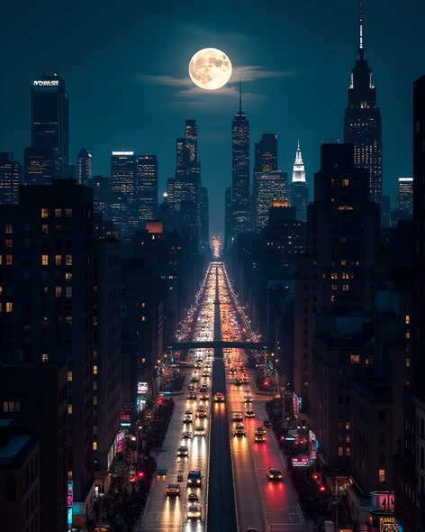
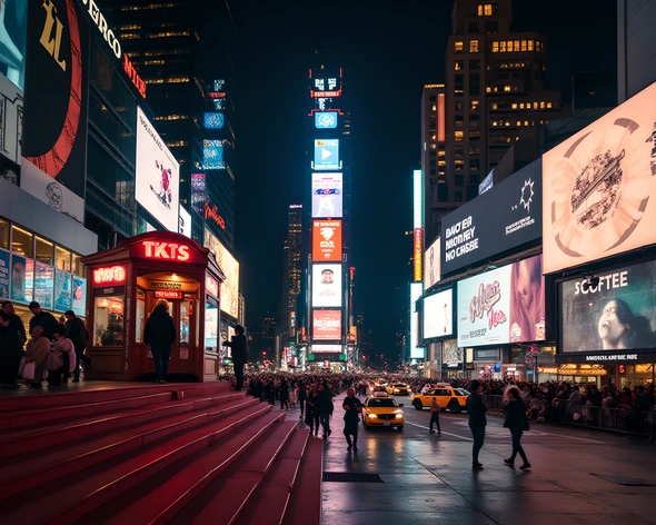
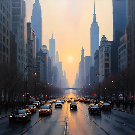
More Ai art like map long island new york
A Retro Themed polaroid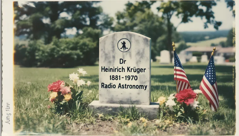
A Retro Themed polaroid picture of famed Frisian American Radio Astronomer Dr Heinrich Krüger's Grave in Oyster Bay Long island New York Circa June 5th 1996