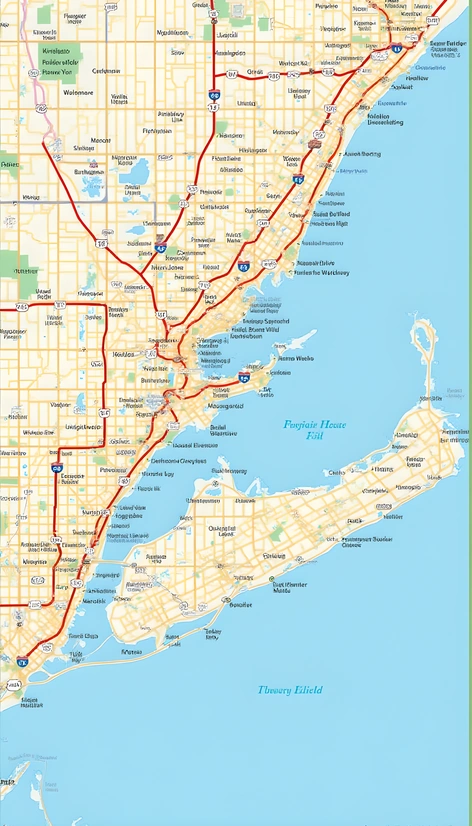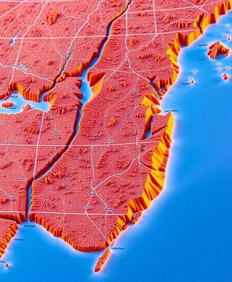
map of new york
Resize and add details
Convert to video
Outpaint the rest of the image
Additional Info
Steps29
Samplerdpm++
CFG Scale6.3
Seed507907233
Enhanced Prompthighly detailed geographic map of New York and New Jersey states, including accurate renderings of major cities, towns, and municipalities, comprehensive network of roads, highways, and interstates, precise depictions of lakes, rivers, and coastal areas, notable landmarks, national parks, and forests, state and county boundaries clearly defined, urban areas distinguished from rural regions, contour lines and shading illustrating topography, latitude and longitude lines, scale and legend provided for reference, photorealistic style, earthy tone color palette, 2D representation, overhead view, entirely fills the frame, high-resolution image, intricate details visible upon close inspection, created using a combination of satellite imagery and geographic information system (GIS) data, optimized for large-format printing, visually appealing and informative, suitable for educational, professional, or decorative purposes, updated to reflect recent changes in infrastructure and geography, carefully labeled to ensure ease of navigation and understanding, captures the unique characteristics of the region, provides a wealth of information for those interested in geography, urban planning, or tourism, serves as a valuable resource for residents, visitors, and businesses alike, offers a fascinating glimpse into the diverse landscapes and ecosystems of New York and New Jersey.