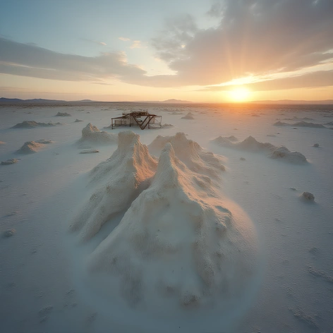
map of pasadena california
Resize and add details
Convert to video
Outpaint the rest of the image
Additional Info
Steps40
Samplerddim
CFG Scale8.4
Seed76767832
More Ai art like map of pasadena california
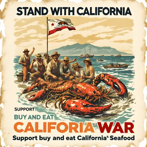
A Retro California Fish and Game Poster From The 1970 The Second Lobster War Between California USA and Baja California Mexico" Stand With California, Support the California Fishing Fleet, Buy and Eat Californian Seafood" Cold War Era Propaganda Anti Illegal Fishing Propaganda ,

A Retro California Fish and Game Poster From The 1986 The Third Lobster War Between California USA and Baja California Mexico" Stand With California, Support the California Fishing Fleet, Buy and Eat Californian Seafood" Cold War Era Propaganda Anti Illegal Fishing Propaganda

A Retro California Fish and Game Poster From The 1956 Lobster War Between California USA and Baja California Mexico" Stand With California, Support the California Fishing Fleet, Buy and Eat Californian Seafood" Cold War Era Propaganda Anti Illegal Fishing Propaganda