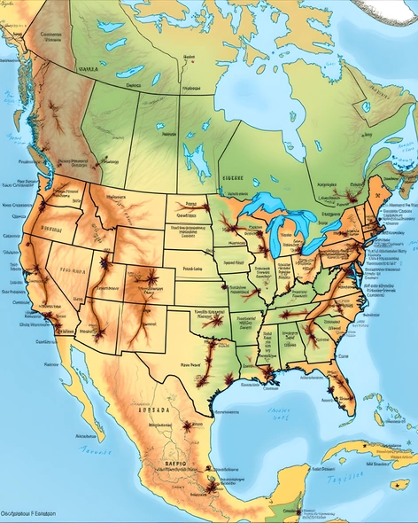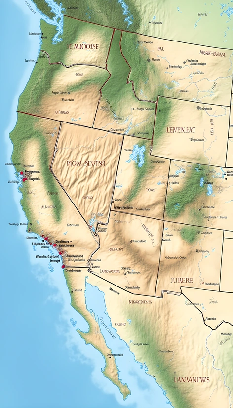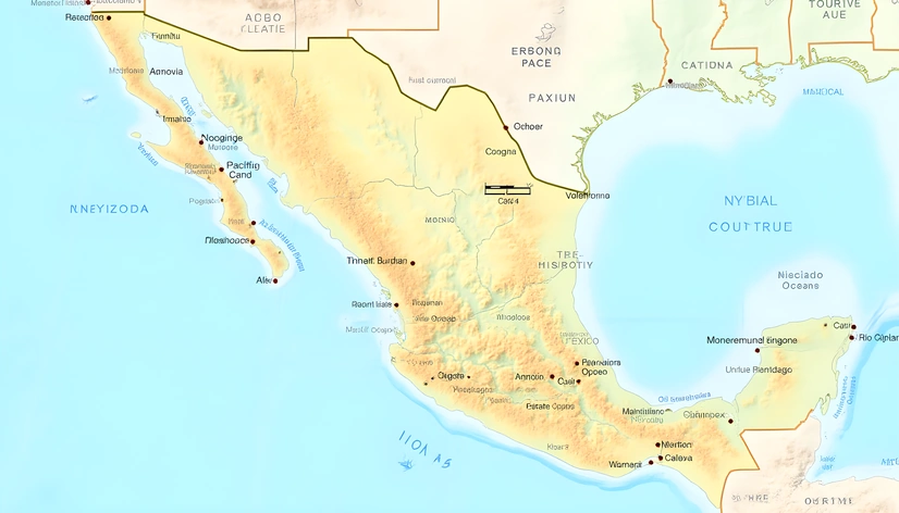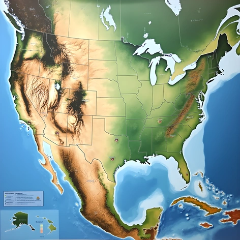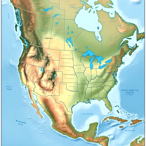
usa map with capital
Resize and add details
Convert to video
Outpaint the rest of the image
Additional Info
ModelFlux
Seed1883232450
Enhanced Promptstate borders, usa, political boundaries, geographic features, major cities, state capitals, labeled points of interest, national parks, rivers, lakes, mountain ranges, road network, highways, interstates, urban areas, rural areas, coastal regions, international borders, north america continent, latitude and longitude coordinates, geographical data, cartographic information, map legend, scale bar, title, usgs survey, geographic information system, spatial reference system, wgs84, epsg4326, us census bureau data, american community survey, population density, land use patterns, economic data, climate zones, vegetation types, water bodies, elevation contours, topography, relief shading, shaded relief, hillshading, contour interval 500m, projection lambert conformal conic, standard parallels 33n and 45n, central meridian 96w, units meters, datum nadrta92, geoid gneu94, ellipsoid grs80, coordinate reference system crs84, usgs 3d elevation program, usgs national map database, usgs earth explorer, usgs science center, usgs research opportunities, usgs publications, usgs library, national atlas of the united states, atlases, gazetteers, usgs publications, federal emergency management agency fema, disaster response, natural hazard mitigation, flood mapping, usgs flood hazard mapping, usgs landslide hazards, usgs earthquake hazards, usgs volcanic hazards, usgs tsunami hazards, national flood insurance program nfip, floodplain management, usgs floodplain management, flood zone maps, floodway maps, base flood elevations, special flood hazard area sfha, flood insurance rate map firmap, flood risk assessment, flood risk reduction, flood damage prevention, usgs flood loss, flood risk analysis, flood modeling, flood simulation, flood forecasting, flood prediction, hydrologic models, hydraulic models, precipitation data, streamflow data, groundwater levels, soil moisture, snowpack data, temperature data, wind data, weather station data, radar imagery, satellite imagery, aerial photography, orthorectified imagery, lidar data, point cloud data, ground-penetrating radar, electromagnetic induction tomography, electrical resistivity tomography, seismic reflection profiling, seismic refraction profiling, thermal imaging, hyperspectral imaging, multispectral imaging, optical remote sensing, radar remote sensing, sonar, bathymetry, acoustic surveys, side-scan sonar, subbottom profiler, geophysical surveys, geotechnical investigations, geological mapping, geochemical sampling, geophysical logging, well logging, drill cores, cuttings, geologic cross-sections, stratigraphic columns, geologic maps, structural maps, geologic cross sections, geologic profiles, isopach maps, isochron maps, geologic age dating, radiometric dating, biostratigraphy, magnetostratigraphy, chemostratigraphy, sequence stratigraphy, seismic stratigraphy, sequence architecture, facies analysis, sedimentology, petrology, mineralogy, geochemistry, geophysics, geodesy, photogrammetry, computer vision, machine learning, artificial intelligence, deep learning, neural networks, convolutional neural networks, recurrent neural networks, generative adversarial networks, transfer learning, domain adaptation, object detection, image segmentation, image classification, image generation, text-to-image synthesis, data augmentation, data transformation, feature extraction, feature selection, dimensionality reduction, clustering, regression, classification, decision trees, random forests, support vector machines,