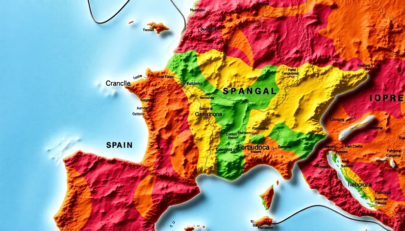
map of portugal and
Resize and add details
Convert to video
Outpaint the rest of the image
Additional Info
Steps24
Samplerddim
CFG Scale6.2
Seed779020068
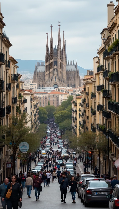
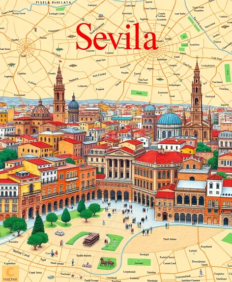
Enhanced Promptdetailed map of Portugal and Spain, Iberian Peninsula, southwestern Europe, Atlantic Ocean to the west, Mediterranean Sea to the east, Pyrenees Mountains forming the border with France and Andorra to the northeast, Portugal-Spain border clearly demarcated, major cities labeled, including Lisbon, Porto, Madrid, Barcelona, Valencia, and Seville, prominent rivers, such as the Tagus, Douro, and Guadalquivir, illustrated, rugged terrain of the Meseta Central and Sierra Nevada mountain ranges, rolling hills and fertile valleys, scenic coastline with notable beaches and ports, major highways and roads, international borders, national parks and protected areas, geographical features, including the Azores and Madeira archipelagos, Balearic Islands, and Canary Islands, rich cultural heritage, including historic sites, landmarks, and festivals, diverse regions, such as Galicia, the Basque Country, Catalonia, and Andalusia, vibrant cities, beautiful landscapes, and a strong sense of tradition, warm and sunny climate, Mediterranean climate, with warm summers and mild winters, regional variations in climate, with the north being cooler and wetter than the south, detailed and accurate, up-to-date information, colorful and visually appealing, perfect for travelers, researchers, and anyone interested in learning more about these two beautiful countries.