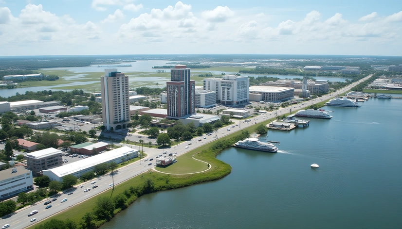
map of suriname
Resize and add details
Convert to video
Outpaint the rest of the image
Additional Info
ModelFlux
Seed123225093
Enhanced PromptSouth America, northern coastal regions, bordering French Guiana to the east, Brazil to the south and southwest, Guyana to the west, Atlantic Ocean to the north, dense rainforests, vast river systems including Marowijne River, Saramacca River, Corantijn River, Commewijne River, Suriname River, Courantyne River, Lake Maracaibo, capital city Paramaribo, population approximately 580,000 people, tropical savanna climate, diverse ethnic groups, indigenous peoples including Saramaccan, Arawak, Carib, Amerindian, Dutch colonial legacy, post-colonial politics, socialist government, economic reliance on gold mining, agriculture, forestry, tourism, rich biodiversity, unique cultural heritage, UNESCO World Heritage Site Brownsberg Nature Park, historic Fort Zeelandia, iconic Mount Julianah, varied geography featuring mountains, rivers, waterfalls, beaches, coastal plains, interior savannas, dense forests, wildlife reserves, major cities including Paramaribo, Lelydorp, Moengo, Nieuw Nickerie, Albina, Moengo, Brokopondo Reservoir, Afobaka Dam, Klaaskreek, Meerzorg, Sipaliwini Mountains, Tafelberg Mountain, Raleighvallen waterfall, Gran Roopali waterfall, Koelemanstoep, Sipaliwini Falls National Reserve, Brownsberg Nature Park, Brownsberg Wildlife Sanctuary, Central Suriname Nature Reserve, Brownsberg Nature Resort, nature reserves including Brownsberg Nature Park, Sipaliwini Falls National Reserve, Brownsberg Wildlife Sanctuary, Central Suriname Nature Reserve, tourist attractions including Brownsberg Nature Park, Brownsberg Wildlife Sanctuary, Gran Roopali waterfall, Raleighvallen waterfall, Koelemanstoep, Brownsberg Nature Resort, traditional festivals including Inti Raymi, Diwali, Eid al-Fitr, Christmas, New Year's Eve, Carnival, Stroopwafels, Pom, Pom, peanut soup, Surinamese cuisine, Creole language, Sranan Tongo, Dutch, English, Hindustani, Javanese, Saramaccan languages, diverse cultural influences, history of colonialism, slavery, indentured labor, immigration, post-independence development, contemporary social issues including poverty, inequality, crime, environmental degradation, deforestation, Amazon rainforest conservation, efforts towards sustainable development, eco-tourism initiatives, protected areas, indigenous land rights, national parks, wildlife reserves, marine protected areas, Ramsar sites, biosphere reserves, geographically located between 0° and 5° North latitude, 54° and 58° West longitude, total area approximately 163,821 square kilometers, population density approximately 3 people per square kilometer, highest point Tafelberg Mountain, lowest point Atlantic Ocean, coastline length approximately 386 kilometers, international borders with French Guiana, Brazil, Guyana, territorial waters, exclusive economic zone, territorial sea, maritime claims, disputed border with Guyana, maritime boundary dispute, border negotiations, demarcation agreement, diplomatic relations, regional cooperation, CARICOM membership, ALBA membership, OAS membership, CDB membership, IDB membership, ACP membership, EITI membership, ILO membership, WIPO membership, UN membership, UNCTAD membership, UNDP membership, UNEP membership, UNESCO membership, WHO membership, WTO membership, GDP per capita approximately $8,300 USD, GNI per capita approximately $6,800 USD, HDI index value approximately 0.725, human development ranking 105th globally, literacy rate approximately 92%, life expectancy