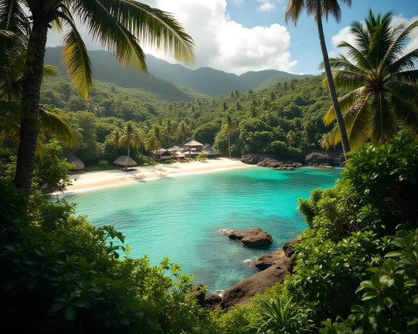
map of the abc islands
Resize and add details
Convert to video
Outpaint the rest of the image
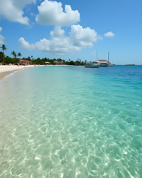
Additional Info
ModelFlux
Seed213980573
Enhanced PromptAruba, Bonaire, Curaçao,
islands in the southern Caribbean Sea, part of the ABC Islands,
small island nation, located off the coast of Venezuela,
total land area approximately 960 km²,
total coastline length around 376 km,
main languages English, Dutch, Papiamento,
population around 280,000 people,
capital city Oranjestad,
largest city Willemstad,
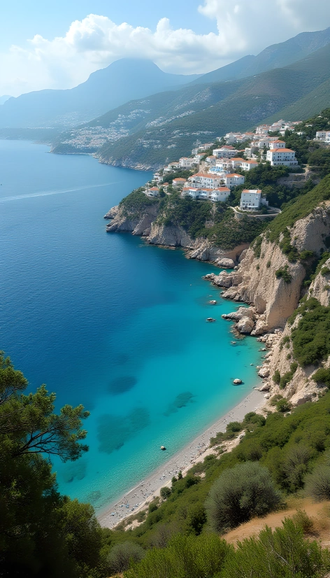
economy based on tourism, financial services, oil refining,
natural resources including oil, natural gas, salt, arable land,
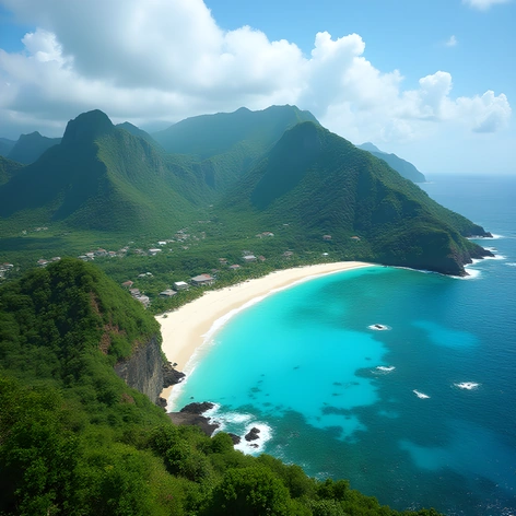
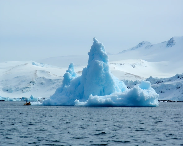
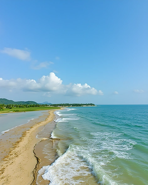
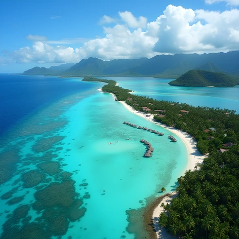
notable landmarks Christoffelpark National Park, Ayo Rock Formation, Boca Onima Beach, Cas Abou Beach, Hato Cave, Shete Boka National Park, Washington Slagbaai National Park,
climate tropical savanna climate,
average temperature around 28°C (82°F),
best time to visit between December and April,
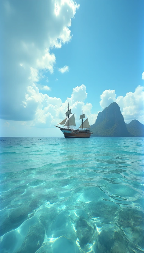
popular activities snorkeling, diving, hiking, birdwatching, surfing, fishing, sailing, boat tours,
infamous for the flamingo population,
cultural influences from African, European, indigenous Amerindian, Latin American,
distinctive cuisine featuring seafood, goat meat, rice and beans, peper pot soup, keshi yena, stamppot, pastechi, funchi, funchi, pisko, pan bati, papaya, guavaberry, coconut water, fresh fruits, spices, herbs, local rum, beer,
currency Aruban florin, Curaçao guilder, Netherlands Antillean guilder,
time zone UTC−4,
driving side left,
telephone country code +297,
internet top-level domain.aw,.cx,.an.