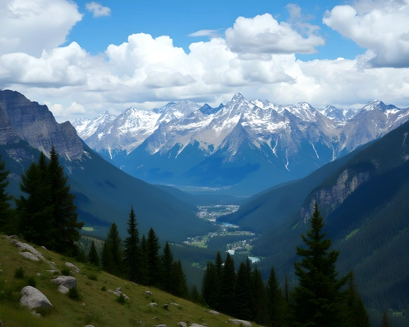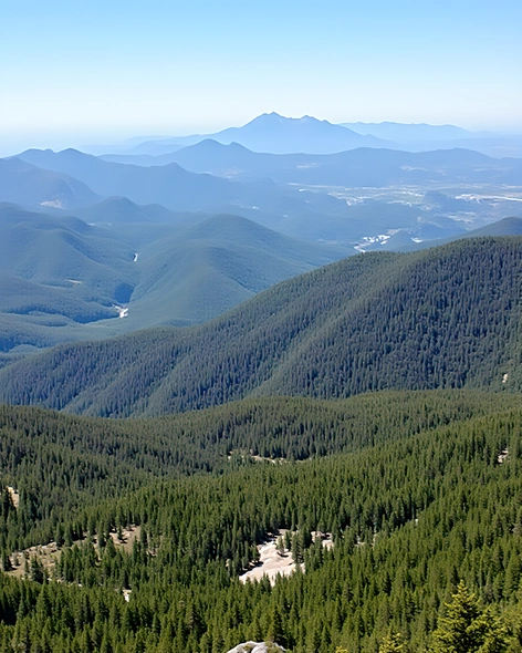
map of the us with mountains
Resize and add details
Convert to video
Outpaint the rest of the image
Additional Info
ModelFlux
Seed1071625773
Enhanced PromptRocky mountain range, Appalachian Mountains, Sierra Nevada, Cascade Range, Rocky Mountains, Ozark Plateau, Ouachita Mountains, Blue Ridge Mountains, Great Smoky Mountains, Sangre de Cristo Mountains, San Juan Mountains, White Mountains, Adirondack Mountains, Teton Range, Bighorn Mountains, Uinta Mountains, Wasatch Range, Continental Divide, Colorado Plateau, Columbia River Gorge, Grand Canyon, Monument Valley, Badlands, Black Hills, Ozark Mountains, Ouachita National Forest, Great Basin Desert, Mojave Desert, Sonoran Desert, Chihuahuan Desert, Gulf Coastal Plain, Mississippi Embayment, Atlantic Coastal Plain, Piedmont region, New England Upland, Hudson Highlands, Catskill Mountains, Green Mountains, Berkshire Mountains, Adirondacks, Allegheny Plateau, Cumberland Plateau, Cumberland Mountains, Cumberland Gap, Great Lakes, Lake Michigan, Lake Superior, Lake Erie, Lake Ontario, Lake Huron, Lake Winnipegosis, Finger Lakes, Finger Lakes region, Niagara Escarpment, Hudson River Valley, Delaware Water Gap, Pocono Mountains, Pocono Plateau, Hudson Highlands, Shawangunk Ridge, Shawangunk Mountains, Litchfield Hills, Connecticut River Valley, Long Island Sound, Outer Banks, Delmarva Peninsula, Chesapeake Bay, Cape Cod, Martha's Vineyard, Nantucket Island, Acadia National Park, Mount Katahdin, Maine Coast, New Hampshire White Mountains, Vermont Green Mountains, Massachusetts Berkshires, Rhode Island Block Islands, Connecticut Litchfield Hills, Long Island Sound, Hudson River Valley, Lake Champlain, Saint Lawrence River, Niagara Falls, Thousand Islands, Georgian Bay, Bruce Peninsula, Algonquin Provincial Park, Canadian Shield, Torngat Mountains, Torngat National Park, Gros Morne National Park, Newfoundland Tableland, Appalachian Trail, Continental Divide Trail, Pacific Crest Trail, John Muir Trail, Tahoe Rim Trail, Appalachian Mountain Club, US Geological Survey, United States Geological Survey, geology, topography, cartography, mapmaking, mapping, geography, landscape, scenery, scenic views, panoramic views, vista points, lookout points, hiking trails, national parks, wilderness areas, protected lands, public lands, private lands, natural features, geological formations, rock formations, canyons, gorges, waterfalls, lakeshores, coastlines, shorelines, beaches, dunes, sandbars, mudflats, wetlands, marshes, swamps, forests, woodlands, meadows, grasslands, prairies, badlands, deserts, plateaus, highlands, mountains, hills, valleys, plains, river systems, streams, rivers, creeks, brooks, waterways, hydrology, aquatic ecosystems, wildlife habitats, biodiversity, conservation efforts, environmental protection, sustainable development, land management, urban planning, rural planning, regional planning, local planning, zoning regulations, land use policies, resource management, resource extraction, mining, drilling, logging, agriculture, forestry, ranching, farming, hunting, fishing, recreation, tourism, outdoor activities, adventure sports, nature photography, landscape photography, aerial photography, drone footage, satellite imaging, remote sensing, GIS mapping, geographic information systems, spatial analysis, data visualization, cartographic design, map production, print-on-demand maps, online mapping platforms, web mapping applications, mobile apps, GPS navigation, route planning, trip planning, itinerary creation, travel guides, road trips, backpacking trips, hiking