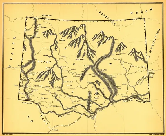
map of wyoming territory
Resize and add details
Convert to video
Outpaint the rest of the image
Additional Info
Steps35
Samplereuler_a
CFG Scale9
Seed496666055
Enhanced PromptHistoric map of Wyoming Territory, hand-drawn illustration style, intricate details, subtle texture, earthy tones, 1880s era, featuring notable landmarks, geographical features, and settlements, Cheyenne as the territorial capital, highlighted in a subtle bold font, cowboy and ranching culture-inspired aesthetic, vast open ranges, majestic mountain ranges, meandering rivers, and sparse settlements, evoking the spirit of the American West, sepia-toned color palette, slight yellowing effect, aged parchment texture, hint of wear and tear, suggesting a well-traveled and treasured document, lovingly crafted to capture the essence of the Wyoming Territory's pioneering era, detailed key and legend, explaining symbols, markings, and notable features, informative and educational, a treasure for history buffs, map enthusiasts, and anyone fascinated by the Wild West, beautifully rendered, carefully researched, and meticulously detailed, measuring 24 inches by 36 inches, perfect for framing and display, a true masterpiece of cartography and artistry, reminiscent of the maps created by the great cartographers of the 19th century, a testament to the region's rich history and the art of map-making.