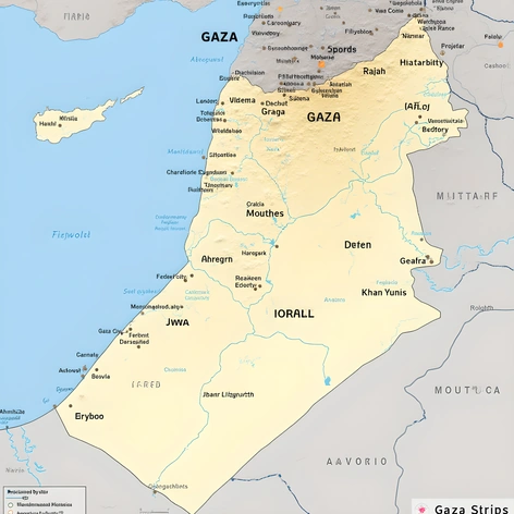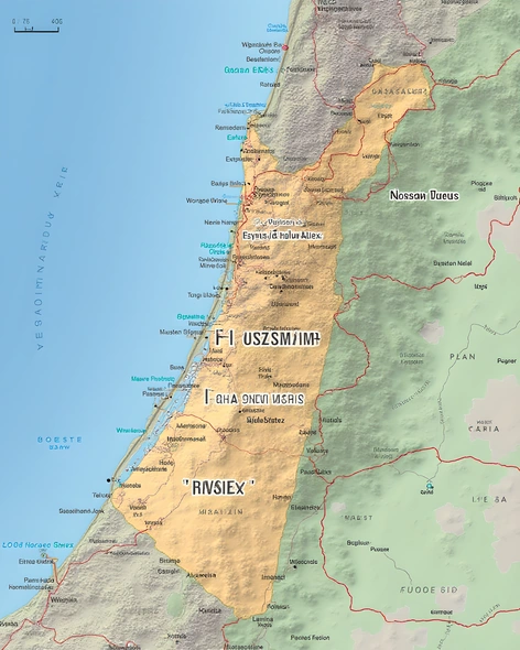
map west bank and gaza strip
Resize and add details
Convert to video
Outpaint the rest of the image
Additional Info
ModelFlux
Seed474735840
Enhanced PromptPalestinian territories, geopolitical region in Western Asia, comprising West Bank and Gaza Strip, situated between Israel and Jordan, bordering Mediterranean Sea, divided into two main areas:
West Bank:
- Geographic coordinates: 31.65°N 35.25°E
- Population density: approximately 2,900 people per square kilometer
- Main cities: Ramallah, Nablus, Hebron, Bethlehem, Jericho
- Land area: 5,640 km² (2,177 sq mi)
- Capital city: Ramallah
- Key features: Mountains of Judea and Samaria, Dead Sea coastline, numerous archaeological sites, including ancient biblical towns like Sebastia and Jacob's Well
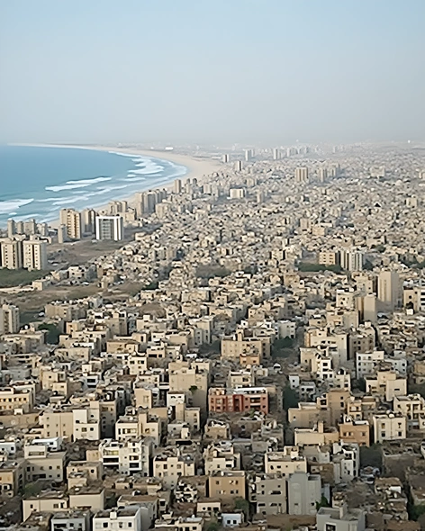
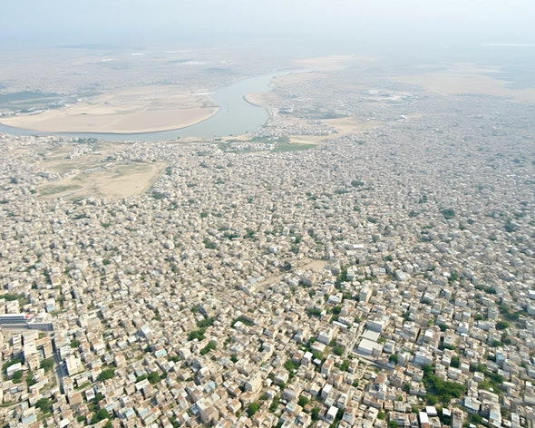
Gaza Strip:
- Geographic coordinates: 31.45°N 34.45°E
- Population density: approximately 6,200 people per square kilometer
- Main cities: Gaza City, Khan Yunis, Rafah, Deir al-Balah
- Land area: 360 km² (139 sq mi)
- Capital city: Gaza City
- Key features: Mediterranean coastline, deserts of Sinai Peninsula, major refugee camps, including Jabalia and Shati'
- Bordering countries: Egypt, Israel
- Notable landmarks: Al-Shifa Hospital, Great March of Return protest site, Hamas headquarters