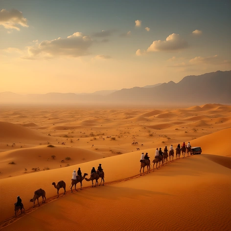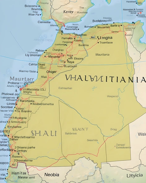
mauritania map africa
Resize and add details
Convert to video
Outpaint the rest of the image
Additional Info
ModelFlux
Seed929628180
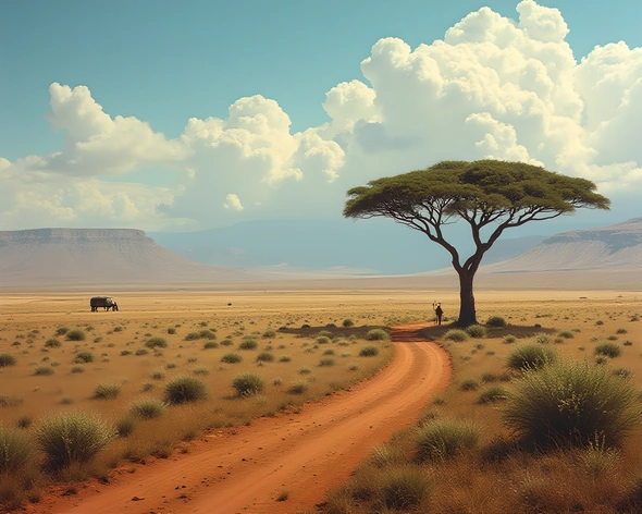
Enhanced PromptWest Africa, Mauritania geographical data, Sahara Desert vast expanse, Atlantic Ocean coastline, Senegal border, Mali border, Algeria border, Niger border, Burkina Faso border, Western Sahara disputed territory, Islamic Republic of Mauritania official name, Mauritanian Arabic spoken language, Berber ethnic group minority population, Hassaniya dialect widely spoken, capital city Nouakchott urban center, Chinguetti ancient trading post, Ouadane historic city, Adrar des Iforas mountain range, Tagant Plateau, Iron Mountains, Mauritania's diverse geography, varying climate zones including arid desert and semi-arid regions, limited rainfall, Sahel region northward influence, Mediterranean coastal climate southward influence, agricultural land primarily dependent on rainfall, livestock herding significant economic activity, fishing industry along coastlines, phosphate mining and oil production contributing to economy, historical trade routes connecting West Africa, Sahara Desert nomadic tribes' traditional migration patterns, French colonial legacy, post-independence challenges including poverty and drought, Mauritanian culture blending African, Arab, and Berber influences, rich cultural heritage including traditional music, dance, and handicrafts, unique blend of Islamic and animist traditions, Arabic calligraphy and geometric patterns adorning architecture and textiles, vibrant marketplaces selling local goods, traditional clothing reflecting regional identity, festive celebrations like Eid al-Fitr and Eid al-Adha.