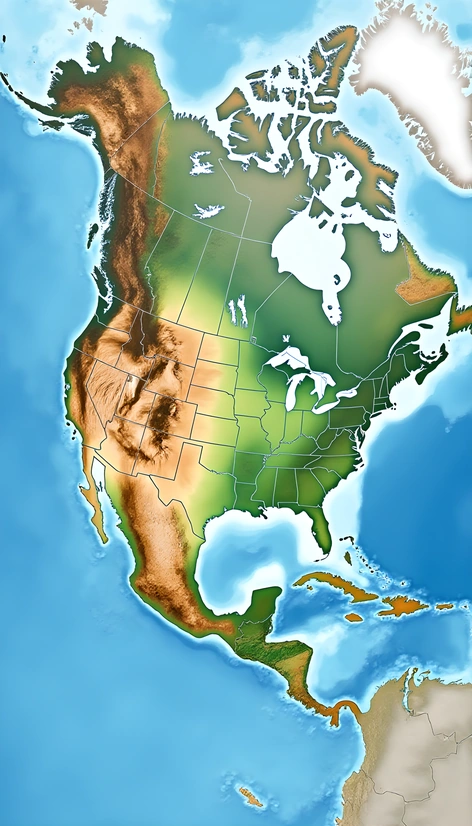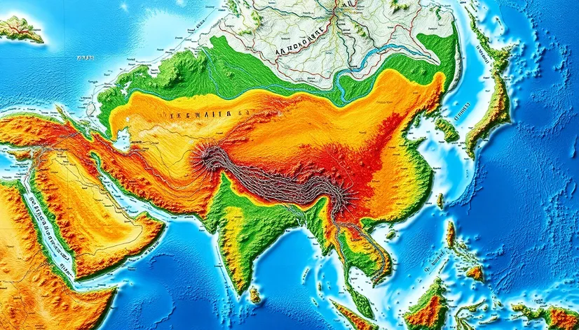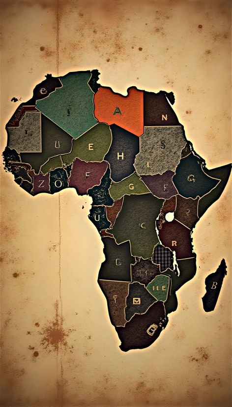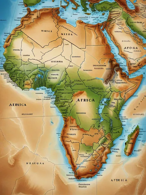
physical map of africa
Resize and add details
Convert to video
Outpaint the rest of the image
Additional Info
Steps7
SamplerK_EULER_ANCESTRAL
CFG Scale2
Seed498395367
Enhanced Promptphysical map of Africa, geographical features, terrain, topography, continent-wide view, Mediterranean Sea to the north, Red Sea to the northeast, Indian Ocean to the southeast, Atlantic Ocean to the west, snow-capped Mount Kilimanjaro, highest peak, vast Sahara Desert, largest hot desert, sprawling Nile River, longest river, Serengeti National Park, Maasai Mara National Reserve, savannas, grasslands, tropical rainforests, Congo Basin, Atlas Mountains, Drakensberg Mountains, Ethiopian Highlands, semi-arid regions, Kalahari Desert, Namib Desert, island nations, Madagascar, Seychelles, Cape Verde, Mauritius, geographical diversity, climate zones, tropical, desert, semi-arid, temperate, Mediterranean, varied ecosystems, biodiversity hotspots, natural resources, rivers, lakes, wetlands, coastal regions, mountain ranges, deserts, forests, woodlands, grasslands, detailed terrain features, country borders, international boundaries, geographical accuracy, precise labeling, comprehensive coverage, Africa's physical landscape, geographical context, environmental significance, visually appealing, informative, educational, detailed physical map of Africa, continent's geography, climate, ecosystems, natural resources, terrain features, geographical diversity, biodiversity hotspots, visually appealing, informative, educational.