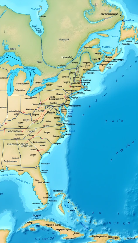
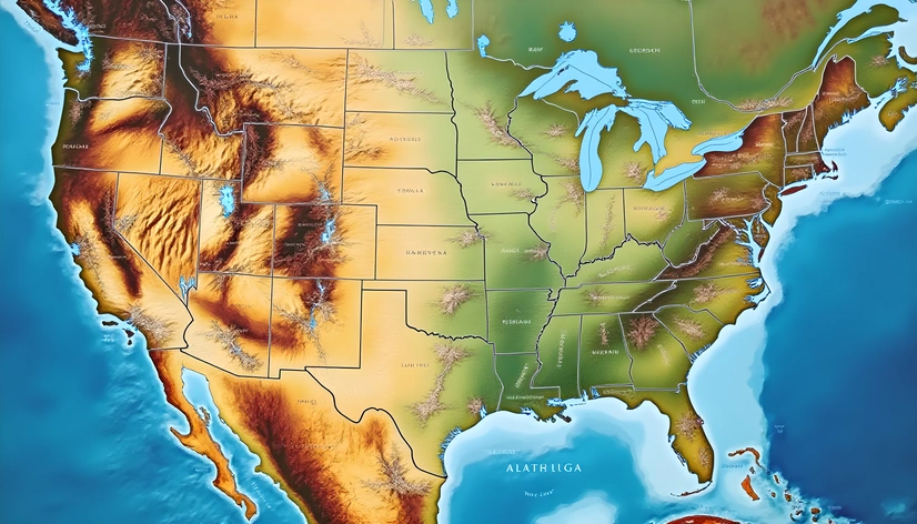
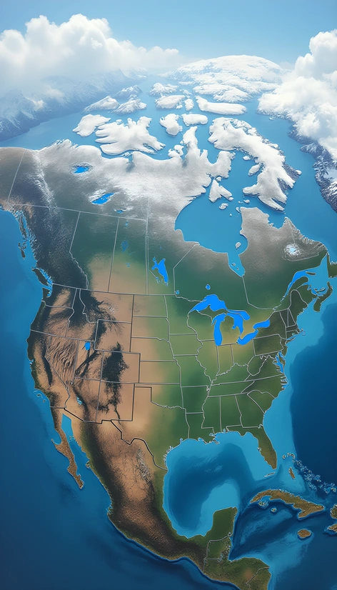
united states map with oceans
Resize and add details
Convert to video
Outpaint the rest of the image
Additional Info
ModelFlux
Seed970102551
Enhanced Promptoceanic borders, united states geographical outline, continental shelf, sea floor topography, gulf stream, atlantic ocean, pacific ocean, arctic ocean, caribbean sea, gulf of mexico, north american plate, geological features, major rivers, lakes, mountain ranges, coastal cities, political boundaries, state capitals, major ports, shipping lanes, international borders, us coastline, marine ecosystems, coral reefs, kelp forests, estuaries, salt marshes, mangroves, seagrass beds, sandy beaches, rocky shores, volcanic coastlines, glacial fjords, delta regions, wetlands, barrier islands, lagoons, sounds, bays, straits, canals, inland waterways, freshwater sources, groundwater aquifers, hydroelectric dams, irrigation systems, agricultural runoff, pollution hotspots, oil rigs, wind farms, tidal patterns, ocean currents, wave dynamics, surf zones, riptides, undertows, beach erosion, coastal protection measures, seawalls, jetties, breakwaters, dunes, sandbars, salt pans, brackish waters, estuarine circulation, salinity gradients, nutrient upwelling, phytoplankton blooms, zooplankton populations, fish migrations, marine food webs, apex predators, commercial fisheries, recreational fishing areas, marine protected areas, national parks, wildlife refuges, marine sanctuaries, coastal conservation efforts, sustainable development initiatives, climate change impacts, sea level rise, ocean acidification, ocean warming, hypoxia, dead zones, marine debris, plastic pollution, oil spills, chemical runoff, invasive species, disease outbreaks, overfishing, destructive fishing practices, habitat destruction, human population growth, urbanization, tourism development, economic impacts, social justice issues, cultural heritage sites, historical maritime trade routes, naval history, piracy, smuggling, border control, customs regulations, immigration policies, asylum seeker routes, refugee crises, conflict zones, war-torn regions, natural disasters, hurricanes, tsunamis, earthquakes, volcanic eruptions, wildfires, droughts, floods, landslides, avalanches, meteorological events, astronomical phenomena, solar eclipses, lunar cycles, planetary alignments, aurora borealis, atmospheric pressure systems, jet streams, wind patterns, storm tracks, weather forecasting models, climate modeling, data collection methods, research vessels, underwater exploration, submersibles, remotely operated vehicles, autonomous underwater vehicles, oceanographic surveys, bathymetric mapping, geophysical surveys, seismic surveys, acoustic surveys, magnetometer readings, sonar data, radar imagery, satellite imagery, multispectral imaging, hyperspectral imaging, lidar data, terrestrial laser scanning, aerial photography, ground-penetrating radar, electrical resistivity tomography, electromagnetic induction, thermal imaging, passive acoustic monitoring, active acoustic monitoring, ocean observatories, moored buoys, drifting buoys, autonomous sensor networks, ocean sensors, ocean platforms, research stations, laboratories, museums, archives, libraries, databases, online resources, educational materials, curricula, lesson plans, teaching aids, outreach programs, public engagement initiatives, community involvement, citizen science projects, crowdsourced data, participatory research, collaborative governance, policy-making processes, stakeholder engagement, public-private partnerships, international cooperation, global agreements, treaties, conventions, resolutions, declarations, protocols, standards, guidelines, best practices, codes of conduct, certification schemes, accreditation procedures, auditing mechanisms, compliance monitoring, enforcement agencies, regulatory bodies,
More Ai art like united states map with oceans


map with longitude and latitude united states
Map with longitude and latitude united states
map of the united states with capitals printable
Map of the united states with capitals printable