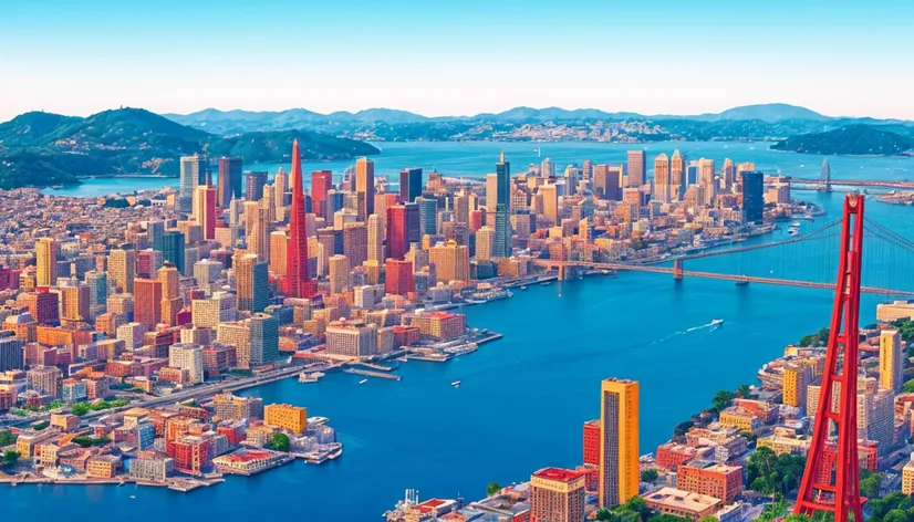
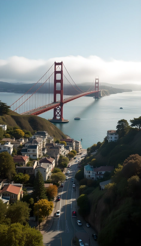
san francisco bay area
Resize and add details
Convert to video
Outpaint the rest of the image
Additional Info
Steps31
Samplereuler_a
CFG Scale6.4
Seed46992014
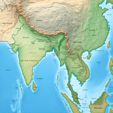
Enhanced Promptdetailed map of the San Francisco Bay Area, including major cities such as San Francisco, Oakland, Berkeley, San Jose, and Palo Alto, highlighting notable landmarks like the Golden Gate Bridge, Alcatraz Island, and the Transamerica Pyramid, featuring the Bay Bridge connecting San Francisco to Oakland, the Dumbarton Bridge, the San Mateo-Hayward Bridge, and the Richmond-San Rafael Bridge, showcasing the region's diverse geography, from the Pacific coastline to the redwood forests of Muir Woods, the rolling hills of Marin County, and the tech hubs of Silicon Valley, including Stanford University and the Googleplex, illustrating the Bay Area's complex network of highways, including US-101, I-80, I-880, and I-280, with attention to the area's various public transportation systems, such as BART, Caltrain, and Muni Metro, labeling popular destinations like Fisherman's Wharf, Pier 39, and the Ferry Building Marketplace, as well as the region's many parks and nature reserves, including Golden Gate Park, the Presidio, and the Mount Tamalpais State Park, using a vibrant color scheme and clear typography to effectively communicate the Bay Area's dense, eclectic mix of urban, suburban, and natural environments, creating a comprehensive and visually appealing map that would be useful for both locals and tourists.
More Ai art like san francisco bay area
The Italian Navy Corvette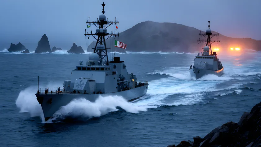
The Italian Navy Corvette INS Il Venice and The American Navy Corvette U.S.S. Stanislaus County Patrolling the Farrollon Islands off of San Francisco circa January 1990 Operation Midnight hour