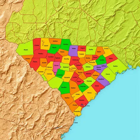
south carolina county map
Resize and add details
Convert to video
Outpaint the rest of the image
Additional Info
Steps28
Samplerdpm++
CFG Scale5
Seed886852860
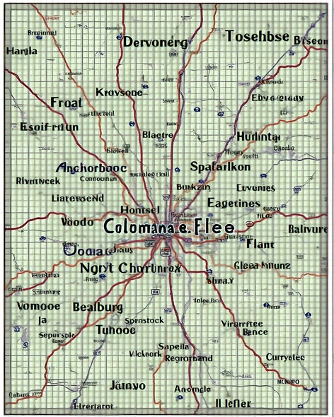
Enhanced Promptdetailed map of South Carolina counties, forty-six counties, county names and boundaries clearly labeled, county seats marked, major cities and towns included, geographic features such as rivers, lakes, and mountains, coastal regions and islands, interstate highways and major roads, neighboring states of North Carolina and Georgia, map title and legend, scale and projection information, high-resolution image, Adobe Illustrator format, 2023 data, US Census Bureau certified, map created by professional cartographer, GIS data used, accurate and up-to-date, official county boundaries, approved by South Carolina government, 46 counties, Abbeville, Aiken, Allendale, Anderson, Bamberg, Barnwell, Beaufort, Berkeley, Calhoun, Charleston, Cherokee, Chester, Chesterfield, Clarendon, Colleton, Darlington, Dillon, Dorchester, Edgefield, Fairfield, Florence, Georgetown, Greenville, Greenwood, Hampton, Horry, Jasper, Kershaw, Lancaster, Laurens, Lee, Lexington, Marion, Marlboro, McCormick, Newberry, Oconee, Orangeburg, Pickens, Richland, Saluda, Spartanburg, Sumter, Union, Williamsburg, York, precise county borders, exact latitude and longitude, delivered in vector format, easily editable, print-ready, high-quality map suitable for display, educational purposes, or business use.