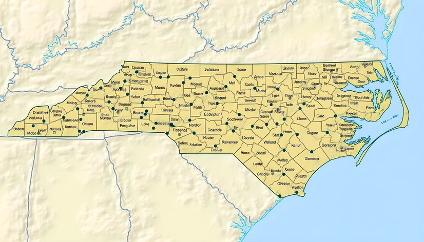
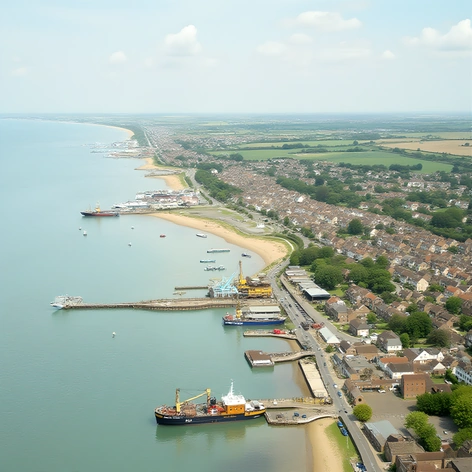
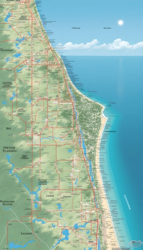
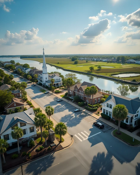
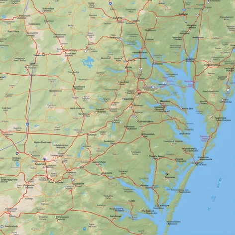
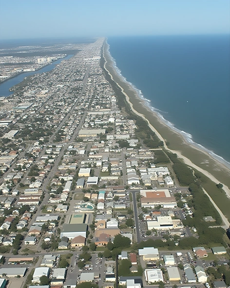
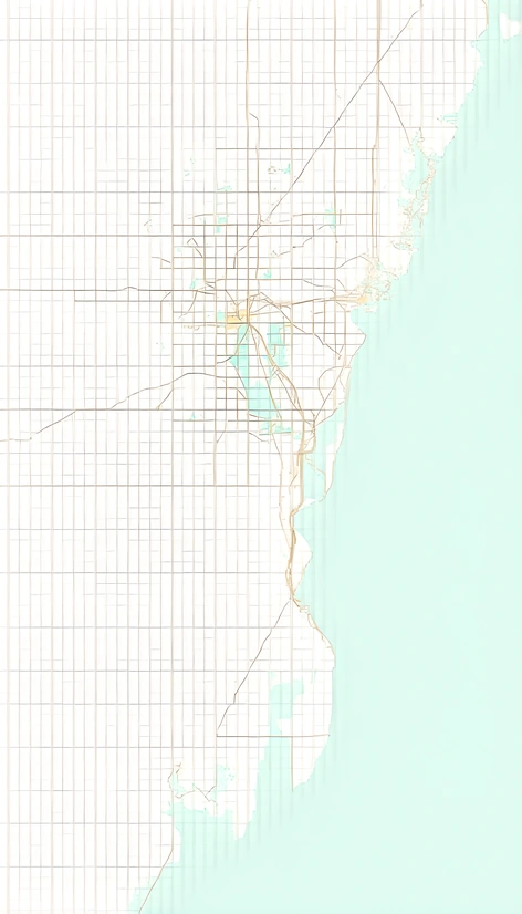
Enhanced PromptNorth Carolina, large scale county map, USA, eastern seaboard state, southeastern region, Appalachian Mountains, Piedmont plateau, coastal plain, diverse geography, 100 counties, urban and rural areas, major cities Raleigh, Charlotte, Greensboro, Durham, Wilmington, Asheville, mountainous terrain, rolling hills, dense forests, fertile farmland, scenic coastline, Outer Banks, Blue Ridge Parkway, Great Smoky Mountains National Park, Cherokee Indian Reservation, Cape Hatteras Lighthouse, Biltmore Estate, Wrightsville Beach, Grandfather Mountain, Lake Norman, Lake James, Lake Glenville, Lake Santeetlah, Blue Ridge Mountains, Uwharrie National Forest, Falls Lake State Recreation Area, Jordan Lake State Recreation Area, Jordan Lake, Neuse River Greenway Trail, Tar River, Neuse River, Cape Fear River, Yadkin River, Dan River, Virginia border, Tennessee border, South Carolina border, Georgia border, Atlantic Ocean, Gulf Stream, subtropical climate, humid continental climate, temperate climate zones, varying elevation, highest point Mount Mitchell, lowest point sea level, average temperature 60°F, average precipitation 40 inches, population density 200 people per square mile, total area 53,821 square miles, primary industries agriculture, manufacturing, technology, finance, tourism, military bases, research centers, educational institutions, cultural attractions, historic sites, outdoor recreation, natural beauty, diverse wildlife, native species, migratory birds, national parks, state parks, wildlife refuges, game lands, nature preserves, waterways, lakes, rivers, mountains, forests, wetlands, coastlines, beaches, dunes, barrier islands, sandbars, inlets, harbors, estuaries, bays, sounds, swamps, marshes, savannas, prairies, grasslands, deserts, badlands, canyons, gorges, waterfalls, hot springs, geysers, caves, sinkholes, karst topography, sinkhole country, underground streams, underground rivers, aquifers, groundwater, surface water, hydroelectric power, fossil fuels, coal mining, gold mining, gemstone mining, granite quarries, marble quarries, limestone quarries, sandstone quarries, clay deposits, kaolin deposits, phosphate deposits, mica deposits, feldspar deposits, quartz deposits, amethyst deposits, emerald deposits, ruby deposits, sapphire deposits, diamond deposits, opal deposits, turquoise deposits, jade deposits, agate deposits, jasper deposits, obsidian deposits, petrified wood deposits, seashells, driftwood, beachcombing, fossil hunting, rockhounding, mineral collecting, gem and mineral shows, gem and mineral clubs, geological surveys, geological maps, topographic maps, bathymetric maps, aerial photographs, satellite imagery, GIS mapping, geographic information systems, GPS navigation, location-based services, mapping apps, online mapping platforms, cartography, spatial analysis, geospatial analysis, remote sensing, photogrammetry, LiDAR scanning, airborne laser scanning, ground-penetrating radar, electromagnetic induction, magnetometry, ground-penetrating radar, ground-penetrating radar surveys, geophysical surveys, geotechnical surveys, environmental monitoring, environmental assessment, environmental impact studies, environmental permitting, environmental regulations, land-use planning, zoning laws, land-use regulations, property rights, easements, covenants, restrictions, deed restrictions, homeowners' associations, community development, economic development, business incubators, startup accelerators, small business loans, venture