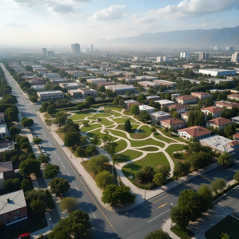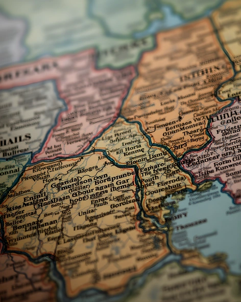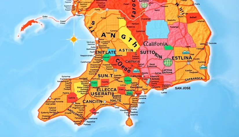
southern california map with
Resize and add details
Convert to video
Outpaint the rest of the image
Additional Info
Steps35
Samplerdpm++
CFG Scale6.2
Seed635342110
Enhanced PromptSouthern California map with cities, geographical features, and major roads, warm beige and golden hues evoking a sense of sun-kissed terrain, Pacific Ocean bordering the west, Mexico visible in the south, detailed city plans for Los Angeles, San Diego, Anaheim, Long Beach, Santa Ana, Riverside, San Bernardino, Ontario, and Irvine, major highways and interstates marked, including I-5, I-10, I-15, and US-101, mountain ranges like the San Gabriels and San Bernardinos, coastal features such as bays, beaches, and piers, inland lakes and rivers, including Lake Arrowhead and the Santa Ana River, city centers and downtown areas highlighted, notable attractions and landmarks, such as Disneyland, Universal Studios Hollywood, and the San Diego Zoo, labeled, educational institutions and universities, like UCLA and USC, marked, major airports, including LAX and SAN, visible, surrounding deserts and wilderness areas, like the Mojave and Cleveland National Forests, subtly shaded, stylish typography and clear labeling, digital elevation model (DEM) used to create 3D effect, giving the map a raised, topographic appearance, creative use of layer blending modes and opacity to create sense of depth, map information up-to-date as of 2022, Adobe Illustrator file format (.AI), high-resolution, print-ready, 300 DPI, suitable for wall art, educational purposes, or as a decorative piece, dimensions: 36 inches x 48 inches.