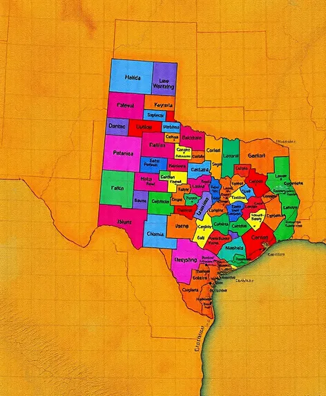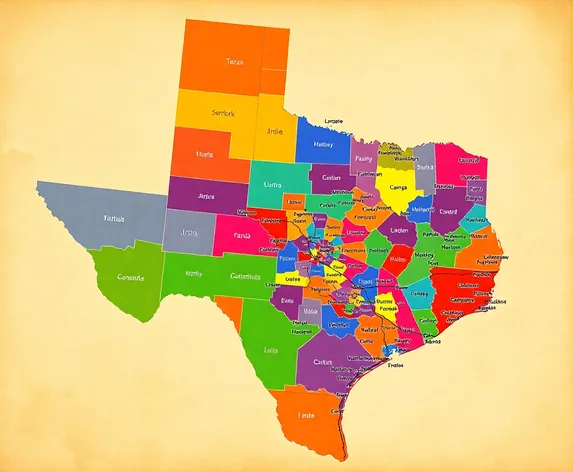
texas counties map with
Resize and add details
Convert to video
Outpaint the rest of the image
Additional Info
Steps33
Samplerdpm++
CFG Scale6.2
Seed753845528
Enhanced PromptTexas counties map with cities, geographic illustration showcasing the Lone Star State's 254 counties, each labeled with its name and boundaries, cities and towns displayed with varying font sizes indicating population, major metropolitan areas like Houston, Dallas, San Antonio, Austin, and El Paso highlighted with larger fonts and icons, county seats denoted with a distinctive symbol, major highways and interstates numbered and colored according to type, geographic features such as rivers, lakes, and mountains illustrated with subtle shading and texture, Gulf of Mexico coastline and Rio Grande River forming the state's southern and western borders, respectively, neighboring states and Mexico visible in the background with faded colors and dashed lines, map title and legend placed in the top-left corner with a small Texas state flag icon, font style inspired by classic American cartography, color palette reflecting the state's natural environment with shades of green, blue, and beige, overall design balancing information density with visual clarity, digital illustration created with a geographic information system (GIS) and graphics software, optimized for printing at high resolution on large-format paper or display on a digital screen, suitable for educational, reference, or decorative purposes.