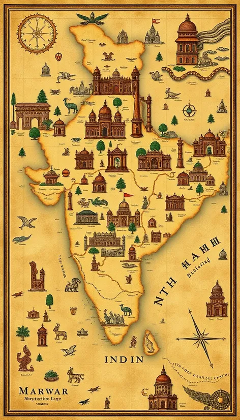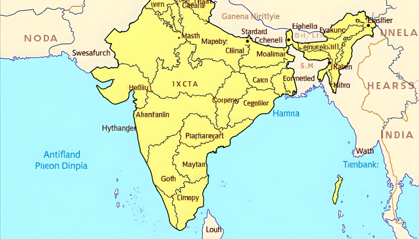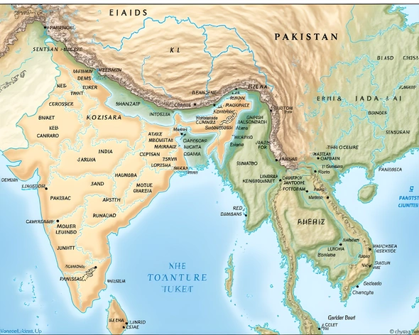
ancient india map
Resize and add details
Convert to video
Outpaint the rest of the image
Additional Info
Steps39
Samplerddim
CFG Scale7.7
Seed615619070
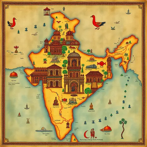
Enhanced PromptAncient India map, intricately detailed, showcasing the Indian subcontinent during the Vedic period, geographical features, major cities, trade routes, and sacred rivers meticulously labeled, the Himalayan Mountains towering in the north, the Indus River flowing through the northwest, the Ganges River meandering through the fertile plains, the Deccan Plateau covering much of southern India, the Eastern and Western Ghats mountain ranges bordering the plateau, the Narmada River flowing through the central region, the Vindhya Range separating northern and southern India, the Thar Desert sprawling across the northwestern part of the subcontinent, the ancient cities of Varanasi, Ayodhya, and Hastinapura dotting the landscape, the trade routes of the Silk Road and the Indian Ocean trade network crisscrossing the region, the Mauryan Empire's territorial boundaries, the Gupta Empire's domains, and the Pallava Kingdom's territories carefully demarcated, the sacred sites of the Hindu, Buddhist, and Jain faiths, such as the Ganges River, the city of Varanasi, and the temples of Khajuraho, prominently highlighted, the artistic style inspired by ancient Indian cartography, with intricate linework, vibrant colors, and symbolic motifs, the overall design evoking a sense of history, culture, and spirituality, reminiscent of the ancient Indian tradition of cartography and the art of mapmaking, a testament to the region's rich cultural heritage and its significance in the ancient world, created using a combination of traditional and digital media, with careful attention to historical accuracy and aesthetic detail.