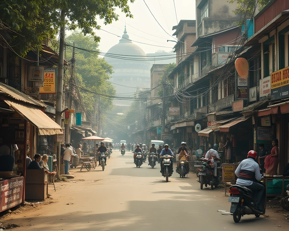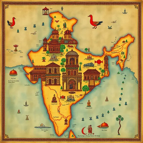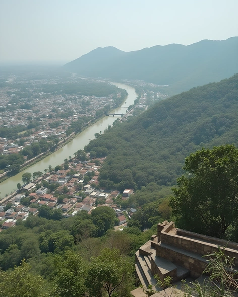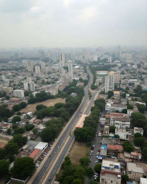
hyderabad in india map
Resize and add details
Convert to video
Outpaint the rest of the image
Additional Info
ModelFlux
Seed1856452585
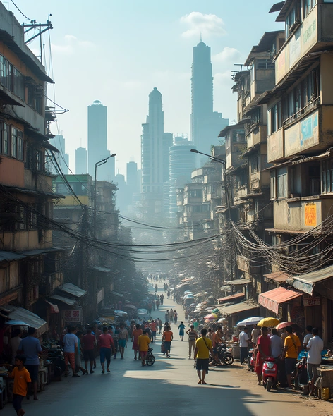
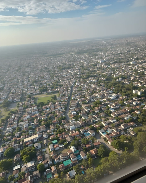
Enhanced PromptIndia, Telangana state, Hyderabad city, large urban area, densely populated, sprawling metropolis, situated near Musi River, located at 17.3850° N latitude and 78.4867° E longitude, bordered by Ranga Reddy district to the south, Medchal-Malkajgiri district to the north, Sangareddy district to the west, and Mahabubnagar district to the east, urban sprawl spreading across 650 square kilometers, known for its rich history, cultural heritage, and modern infrastructure, home to numerous historical landmarks like Golconda Fort, Charminar, and Chowmahalla Palace, bustling markets and bazaars, diverse culinary scene featuring popular dishes like biryani, haleem, and dosas, surrounded by scenic lakes and parks like Hussain Sagar Lake and Lumbini Park, thriving tech hub with major companies like Microsoft, Google, and Amazon having offices, international airport serving domestic and international flights, well-connected transportation network including buses, trains, and metro rail, vibrant nightlife and cultural events, rapidly growing economy and population, average elevation of 536 meters above sea level, tropical wet and dry climate with hot summers and mild winters, annual average temperature ranging from 19°C to 29°C, experiencing significant economic growth and development in recent years, becoming one of India's major IT hubs, home to several universities and research institutions, including the University of Hyderabad and the Indian Institute of Technology Hyderabad.