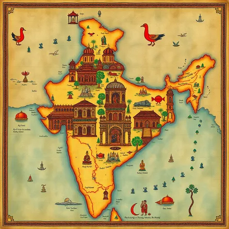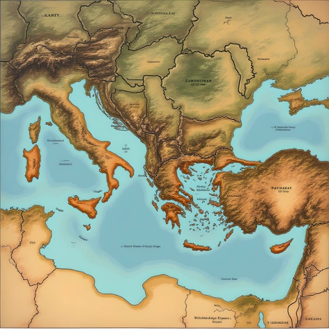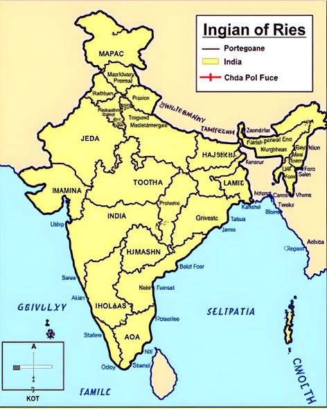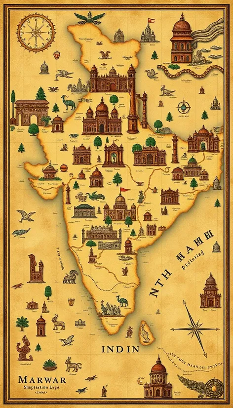
map of ancient india
Resize and add details
Convert to video
Outpaint the rest of the image
Additional Info
Steps35
Samplereuler_a
CFG Scale6.1
Seed802482887
Enhanced PromptAncient Indian subcontinent map, showcasing the geographical layout of the region during the Vedic period, approximately 1500 BCE to 500 BCE, highlighting the major kingdoms, rivers, and mountain ranges, intricately detailed with territorial boundaries, trade routes, and notable cities, illustrating the vast expanse of the Indo-Gangetic Plain, the Deccan Plateau, and the Himalayan foothills, incorporating the seven major rivers, including the Ganges, Indus, and Brahmaputra, which played a crucial role in shaping the civilization, featuring the prominent kingdoms of the time, such as Kuru, Panchala, Kosala, and Magadha, which were hubs of culture, politics, and learning, rendered in a style reminiscent of ancient Indian cartography, with intricate linework, subtle coloration, and a focus on geographical accuracy, emphasizing the region's rich history and cultural heritage, presented in a manner that echoes the ornate and detailed style of ancient Indian art and architecture, blending historical accuracy with artistic flair, transporting the viewer to a bygone era of ancient Indian grandeur, with the map's overall aesthetic inspired by the Ajanta Caves' frescoes and the intricate carvings found in ancient Indian temples, aiming to recreate the cartographic style of the time, while incorporating modern historical knowledge and research, resulting in a visually stunning and informative representation of ancient India's geography and history.