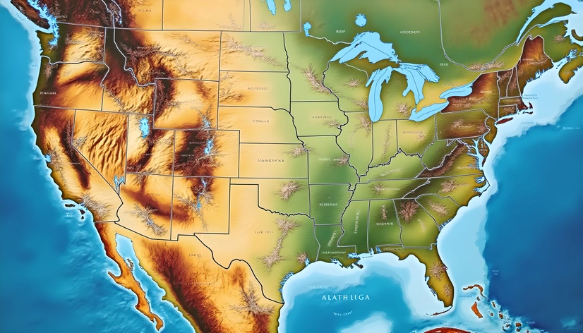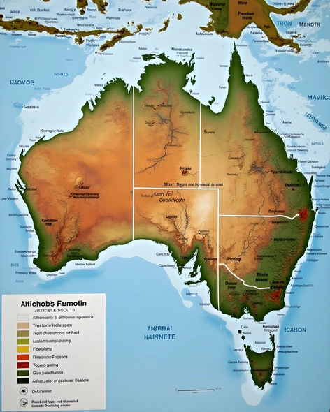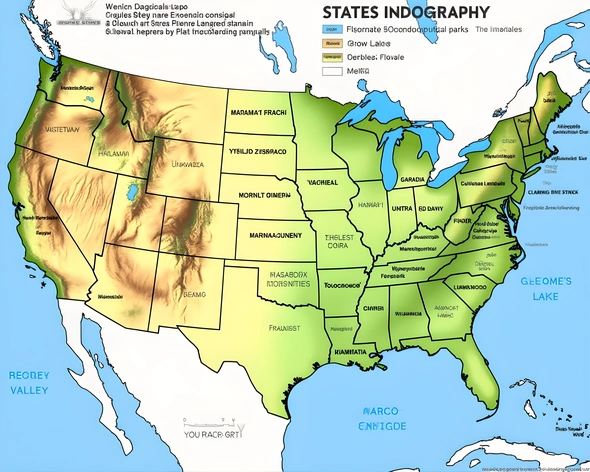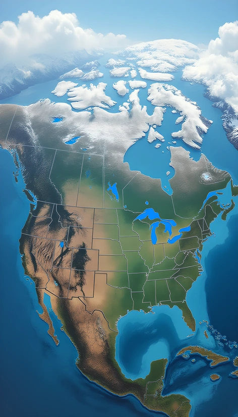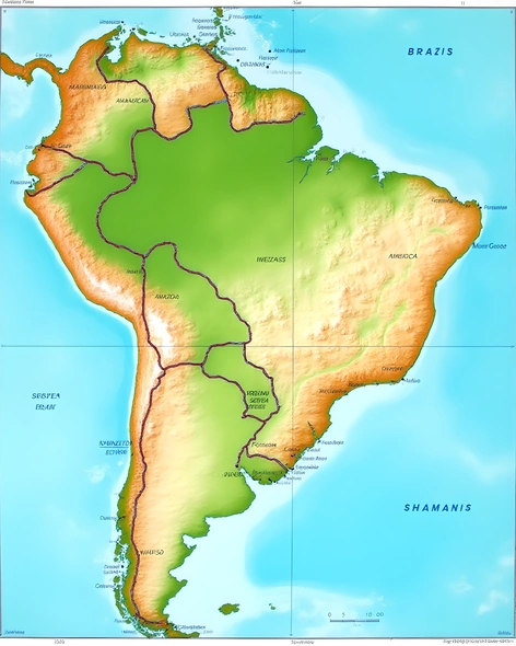
brazilian states map
Resize and add details
Convert to video
Outpaint the rest of the image
Additional Info
ModelFlux
Seed146824299
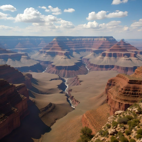
Enhanced PromptBrazil, geographical map, topographic features, diverse landscapes, lush rainforests, dense Amazonas region, sprawling Pantanal wetlands, Serra do Mar mountain range, unique geological formations, distinct cultural regions, Northeastern semi-arid caatinga biome, Southeastern densely populated urban centers, coffee-producing Minas Gerais state, iron ore-rich Minas Gerais mountains, Rio Grande do Sul rolling hills, Paraná river delta, São Paulo metropolitan area, large-scale agriculture in Mato Grosso do Sul, colonial history evident in Bahia architecture, Afro-Brazilian influences in northeastern culture, indigenous communities in the Amazon, rich biodiversity hotspot in the Atlantic Forest, tropical savannas in Mato Grosso, Cerrado ecosystem, Brazilian Highlands, bordering countries Uruguay, Argentina, Paraguay, Peru, Colombia, Venezuela, Guyana, Suriname, French Guiana, Atlantic Ocean, Pacific Ocean, Indian Ocean, geographic coordinates 5° 34' S latitude, 48° 58' W longitude, scale 1:10 million, elevation data included, water bodies labeled, national borders clearly defined, shaded relief to represent topography, color-coded legend indicating different ecosystems, distinctive typography used for place names, visually appealing layout, map size A0 (841 x 1189 mm), printed on high-quality paper, mounted on foam core board, finished with matte varnish.